
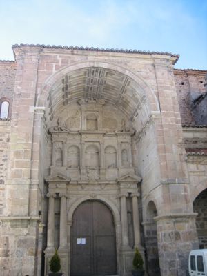
Church of San Simón and San Judas, Alcalá de la Selva, église espagnole
Location: Alcalá de la Selva
Location: Gúdar-Javalambre
GPS coordinates: 40.37194,-0.72028
Latest update: April 7, 2025 15:08
Peñarroya
5.1 km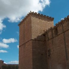
Castle of Mora de Rubielos
13.5 km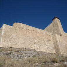
Alcalá de la Selva Castle
118 m
Ayuntamiento de Rubielos de Mora
21 km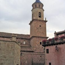
Iglesia de San Miguel (Cabra de Mora)
9.6 km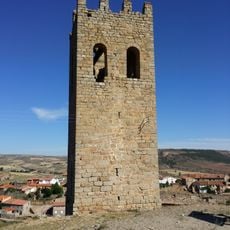
Torre Vieja
20.9 km
Ababuj dinosaur footprints site
22.6 km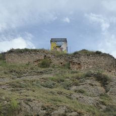
Castle of Jorcas
19.2 km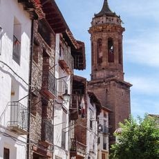
Iglesia de la Inmaculada
13.5 km
Iglesia de la Asunción (Villarroya de los Pinares)
18.1 km
Ermita de Santa María del Pilar
10.7 km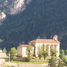
Ermita de Santa Ana
13.8 km
Casa consistorial de Fortanete
22.4 km
Ermita de Santa Águeda, Jorcas
20.1 km
Iglesia de Nuestra Señora de la Asunción, Jorcas
19.2 km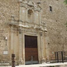
Church of the Assumption and Saint Blaise
25.1 km
Town hall of Jorcas
19.2 km
Iglesia de la Purificación
22.3 km
Church of the Nativity of Our Lady, Mora de Rubielos
13.6 km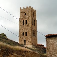
Torreón de Villarroya de los Pinares
18.1 km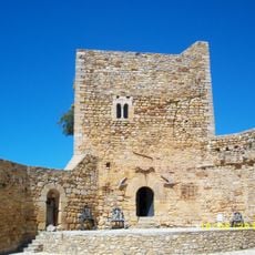
Castillo de Puertomingalvo
25 km
Yacimiento de icnitas de El Castellar
8.4 km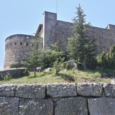
Castle of El Castellar
8.1 km
Villarroya de los Pinares
18.1 km
Palacio del rey Don Jaime, Mosqueruela
23.1 km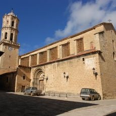
Iglesia de la Asunción de Nuestra Señora
23 km
Ermita de Santa Barbara
8.2 km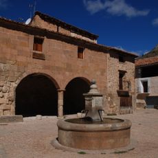
Miravete de la Sierra
22.9 kmVisited this place? Tap the stars to rate it and share your experience / photos with the community! Try now! You can cancel it anytime.
Discover hidden gems everywhere you go!
From secret cafés to breathtaking viewpoints, skip the crowded tourist spots and find places that match your style. Our app makes it easy with voice search, smart filtering, route optimization, and insider tips from travelers worldwide. Download now for the complete mobile experience.

A unique approach to discovering new places❞
— Le Figaro
All the places worth exploring❞
— France Info
A tailor-made excursion in just a few clicks❞
— 20 Minutes