
Campanar, neighbourhood in Valencia
Location: Campanar
Shares border with: Les Tendetes, El Calvari, Sant Pau, El Botànic, La Petxina, Nou Moles, Benicalap
GPS coordinates: 39.48470,-0.39500
Latest update: March 9, 2025 02:09

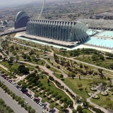
Turia Garden
920 m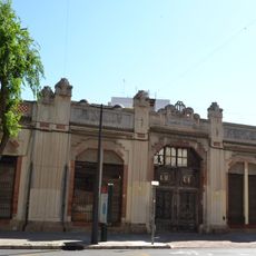
Bombas Gens
872 m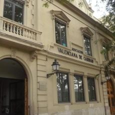
Casa de la Caritat
1 km
Ceramo
678 m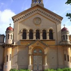
Iglesia del Colegio San José, Valencia
1 km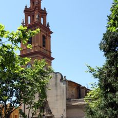
Església de la Mare de Déu de la Misericòrdia de Campanar
374 m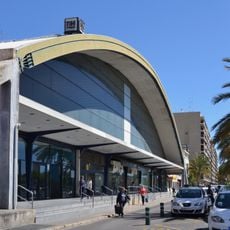
Valencia bus station
806 m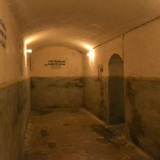
Refugi antiaeri de Bombas Gens
872 m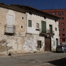
Carrer Olba
919 m
Pont d'Ademús
815 m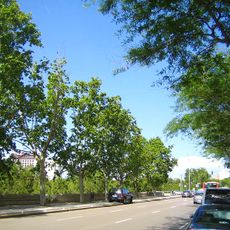
Passeig de la Petxina
1 km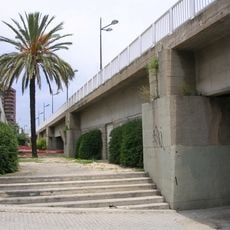
Pont de Campanar
998 m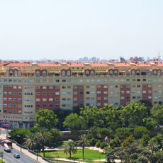
Finca Ferca
963 m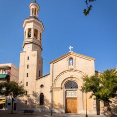
Church of Saint Roch, Benicalap
913 m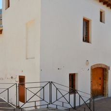
Alqueria de Puchades
1.1 km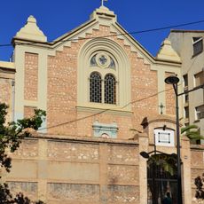
Església de Nostra Senyora de l'Esperança
803 m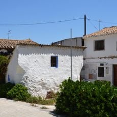
Alqueria del tio Nel·lo el Xurro
1 km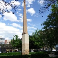
Chimney of Sant Pau flour mill
875 m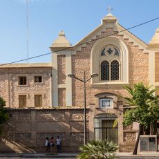
Convent de recoletes de Sant Agustí
803 m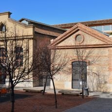
Municipal Slaughterhouse of Valencia
1 km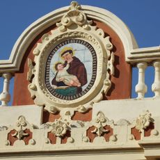
Ceramic panel of Saint Anthony at 15 Florista street
593 m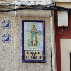
Ceramic panel of Saint Roch in Benicalap
929 m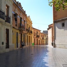
Campanar Historical Area
326 m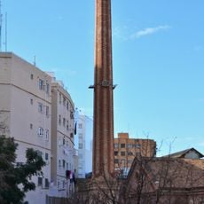
Chimney at Complex Esportiu-Cultural Petxina
1.1 km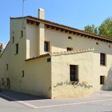
Alqueria de Ricós
793 m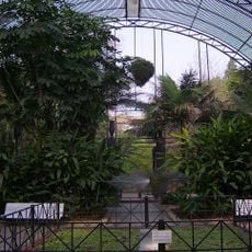
Shade House at Botanical Garden of Valencia
1.1 km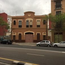
Casilla de Camineros in Marxalenes
692 m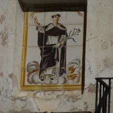
Ceramic panel of Saint Vincent Ferrer at Olba street
927 mVisited this place? Tap the stars to rate it and share your experience / photos with the community! Try now! You can cancel it anytime.
Discover hidden gems everywhere you go!
From secret cafés to breathtaking viewpoints, skip the crowded tourist spots and find places that match your style. Our app makes it easy with voice search, smart filtering, route optimization, and insider tips from travelers worldwide. Download now for the complete mobile experience.

A unique approach to discovering new places❞
— Le Figaro
All the places worth exploring❞
— France Info
A tailor-made excursion in just a few clicks❞
— 20 Minutes