Cuenca sedimentaria del Ebro, Sedimentary basin in northeastern Iberian Peninsula, Spain.
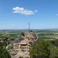
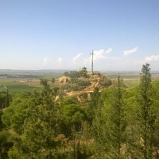
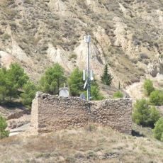
The Ebro sedimentary basin is a large depression in northeastern Spain that has filled with material from surrounding mountain ranges over millions of years. The landscape reveals layered rock formations from different geological periods, visible in cliffs and natural exposures throughout the region.
This region was covered by an inland sea roughly 37 million years ago, which later transformed into a shallow lake system. Over time, water retreated from large areas, leaving behind salt deposits and shaping the landscape we see today.
The geological formations in this basin provide essential data for understanding the tectonic and sedimentary processes of the Iberian Peninsula.
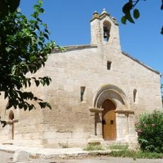
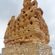
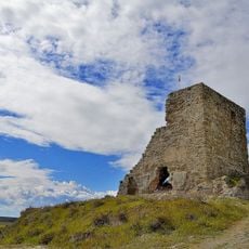
The area is best explored by visiting rock formations and salt flats, which are accessible through walking and driving routes. Most locations are easy to reach on foot or by car, particularly if you focus on well-known geological landmarks.
The basin contains several salt lakes such as Gallocanta and Sariñena, which preserve remnants of the former lake system. These lakes still show characteristics from when the region was completely enclosed by water and salt accumulated.
The community of curious travelers
AroundUs brings together thousands of curated places, local tips, and hidden gems, enriched daily by 60,000 contributors worldwide.