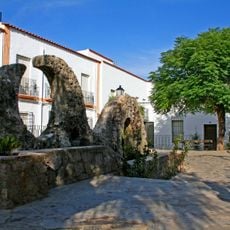
Morrón de la Lagunilla, Mountain summit in Dalías, Spain
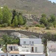
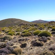
Morrón de la Lagunilla is the highest peak in the Sierra de Gádor mountain range, rising to approximately 2200 meters above sea level. The mountain dominates the landscape around Dalías with its distinctive outline and can be spotted from far away.
The mountain has been used as a natural navigation aid by shepherds and travelers since ancient times as they crossed the Sierra de Gádor. It served local communities as a reliable landmark for finding their way through the mountainous terrain.
This summit serves as a landmark for the surrounding community, where locals have long used it as a natural reference point when navigating their region. The views from above have shaped how people living nearby understand and relate to their landscape.
Multiple hiking routes lead to the summit from Dalías, with the main trail starting near Celin and taking about six hours for the round trip. It is best to start early in the day so you have enough daylight and can prepare for mountain conditions.
The mountain stands out dramatically above its surrounding terrain, rising roughly 1300 meters above the lowlands around it, which makes it one of the most prominent peaks across the entire province. This vertical rise contributes to its visibility from very long distances when weather permits.
The community of curious travelers
AroundUs brings together thousands of curated places, local tips, and hidden gems, enriched daily by 60,000 contributors worldwide.