
Pecharromán, human settlement in Valtiendas, Segovia Province, Castile and León, Spain
Location: Valtiendas
Elevation above the sea: 863 m
GPS coordinates: 41.47866,-3.95208
Latest update: March 10, 2025 16:38
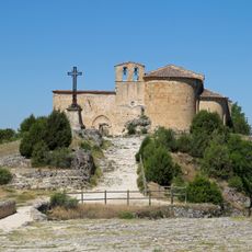
Chapel of Saint Fructus
18.2 km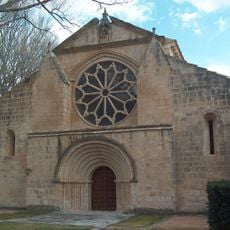
Monasterio de Santa María la Real
3.2 km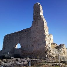
Church of San Martín
4.9 km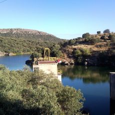
Embalse de Las Vencías
5.7 km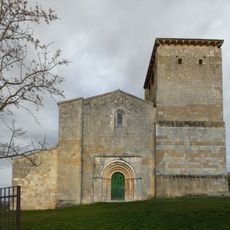
Church of San Miguel
4.7 km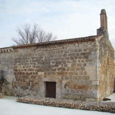
Santa María de Cárdaba
814 m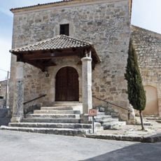
Church of Santa Marina, Sacramenia
1.9 km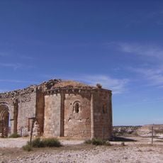
Chapel of Saint Michael
2.3 km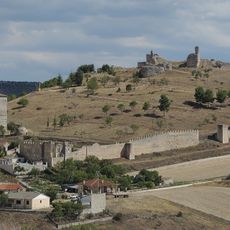
Fuentidueña Castle
4.9 km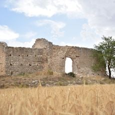
Ermita y Necrópolis de San Nicolás
14.6 km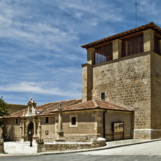
Church of San Miguel Árcangel, San Miguel de Bernuy
8.7 km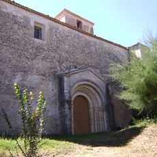
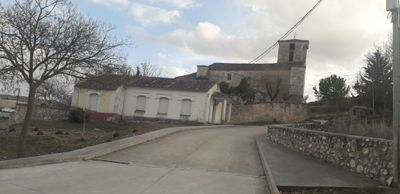
Church of San Andrés, Pecharromán
64 m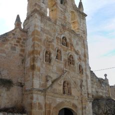
Santuario de la Virgen de la Cueva
17.5 km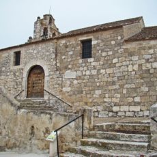
Church of the Invención de la Cruz, Cuevas de Provanco
7.1 km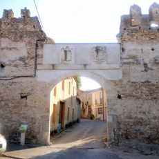
Palacio de Laguna de Contreras
6.6 km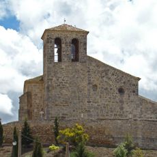
Church of La Asunción
12 km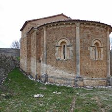
Hermitage of San Vicente, Fuentesoto
3.1 km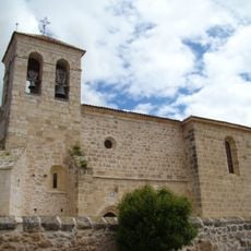
Church of Santa Engracia, Olmos de Peñafiel
12.8 km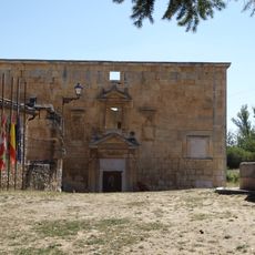
Marqués de Revilla's Palace, Navares de las Cuevas
18.3 km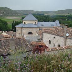
Capilla de los Condes de Montijo, Fuentidueña
4.7 km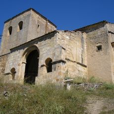
Chapel of Virgen del Barrio
18.2 km
Church of Saint Mammet
18.3 km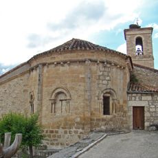
Church of San Martín, Sacramenia
2 km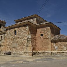
Church of Saint Peter ad Vincula, Aldehorno
14.9 km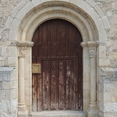
Church of San María Magdalena, Vivar de Fuentidueña
4.6 km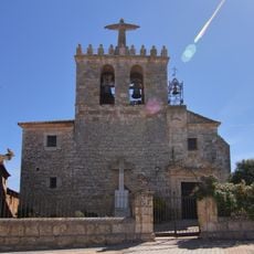
Iglesia de San Mamés Mártir, Fuentecén
18 km
Ermitas de San Miguel de Bernuy
8.3 km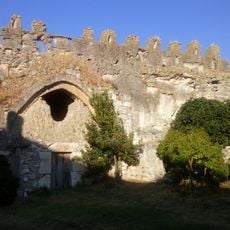
Palacio de los Contreras
6.5 kmVisited this place? Tap the stars to rate it and share your experience / photos with the community! Try now! You can cancel it anytime.
Discover hidden gems everywhere you go!
From secret cafés to breathtaking viewpoints, skip the crowded tourist spots and find places that match your style. Our app makes it easy with voice search, smart filtering, route optimization, and insider tips from travelers worldwide. Download now for the complete mobile experience.

A unique approach to discovering new places❞
— Le Figaro
All the places worth exploring❞
— France Info
A tailor-made excursion in just a few clicks❞
— 20 Minutes