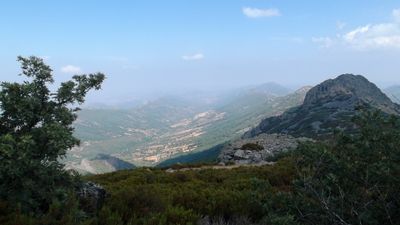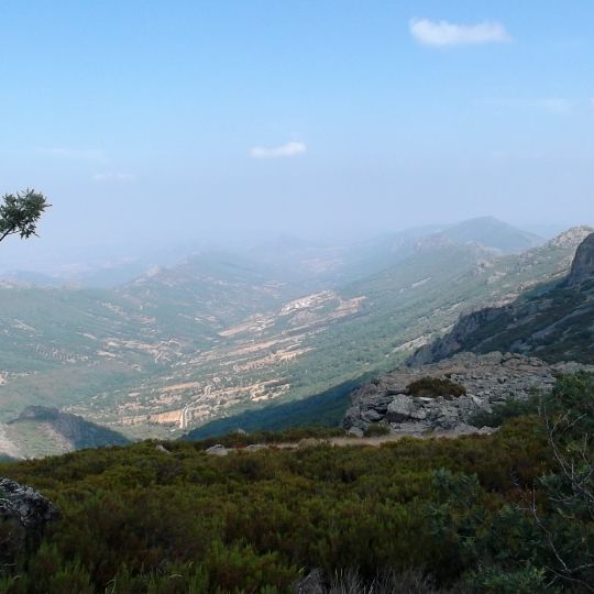
La Villuerca, Mountain summit in Las Villuercas, Cáceres Province, Spain.
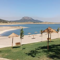
La Villuerca rises to 1,603 meters above sea level as the highest peak of the Sierra de Villuercas in Cáceres Province. The mountain consists of granite formations and is accessed by a narrow paved road that climbs to its summit.
The name La Villuerca dates back to 1353 and later became the name for the entire Las Villuercas region in Cáceres Province. During the 20th century, the military used the summit as a strategic outpost.
The summit's abandoned installations belonged to the Base Centro Táctico CT2 Guadalupe-Villuercas, whose tall antennas and heliport still stand on the flattened top. The peak gives its name to the Las Villuercas comarca, a name documented since 1353. On race days the road up becomes a gathering point for cyclists and amateur astronomers.
A narrow paved road of about 5 kilometers reaches the summit with steep sections that require good fitness. Visitors should come with proper footwear and plenty of water, especially during warmer times of day.
The summit lies in Navezuelas municipality, not Guadalupe as often assumed, and marks the highest point of the entire Guadiana river basin. It also hosted stage finishes of the Vuelta a España in 2021, climbed from Guadalupe, and in 2024, starting from Plasencia.
The community of curious travelers
AroundUs brings together thousands of curated places, local tips, and hidden gems, enriched daily by 95,243 contributors worldwide.