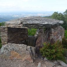
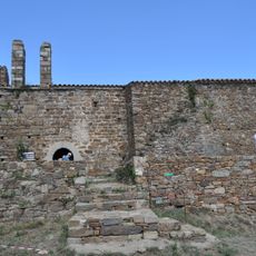
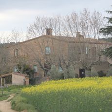
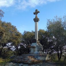
Puig d'Arques, Mountain summit in Les Gavarres, Catalonia, Spain.
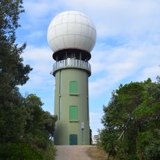
Puig d'Arques is a 532.7-metre summit in the Les Gavarres massif, between Cruïlles, Romanyà de la Selva and Sant Sadurní de l'Heura in the Baix Empordà. It is also known as Puig de la Gavarra or Puig Gavarres. A geodesic vertex (reference 309102001) stands on the top, and the Puig d'Arques weather radar, installed in 2002, occupies the mountain at 527.6 metres, east of the summit.
Puig d'Arques was long listed as the highest point of the Baix Empordà, until the Institut Cartogràfic i Geològic de Catalunya recognised the neighbouring Puig d'Aiguabona, at 533.1 m, as taller. In 2002 a weather radar was installed on the mountain, beside the viewpoint at 527.6 m. The summit is included in the FEEC's list of the 100 Cims.
The summit is one of the 100 cims (peaks) listed by the FEEC, the Catalan Federation of Hiking Clubs, which draws walkers completing the challenge. The mountain is also known as Puig de la Gavarra or Puig Gavarres, names still used locally. A geodesic vertex (reference 309102001) marks the top.
Several hiking trails connect the summit with the neighboring towns of Cruïlles, Monells, and Sant Sadurní de l'Heura. These routes offer different starting points and difficulty levels for walkers of various abilities.
The summit holds a geodesic vertex (reference 309102001) and, since 2002, the Puig d'Arques weather radar; the Puig d'Arques viewpoint lies further east at 527.6 m. The peak is listed among the FEEC's 100 Cims. It was long taken as the Baix Empordà's highest point until the ICGC gave that title to neighbouring Puig d'Aiguabona at 533.1 m.
The community of curious travelers
AroundUs brings together thousands of curated places, local tips, and hidden gems, enriched daily by 94,020 contributors worldwide.