Punta Alta de Comalesbienes, Mountain summit in Vall de Boí, Catalonia, Spain
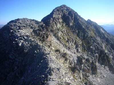
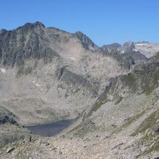
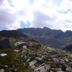
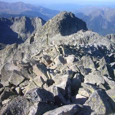
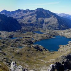
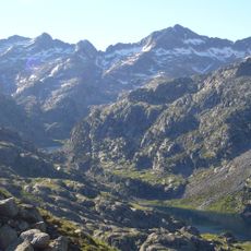
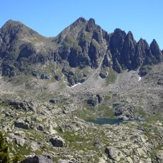
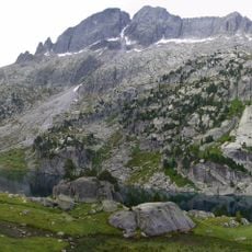
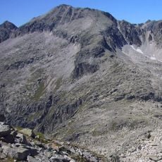
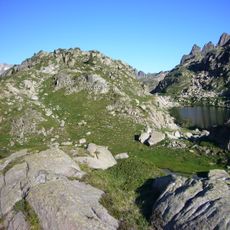
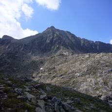
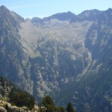
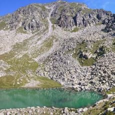
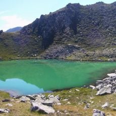
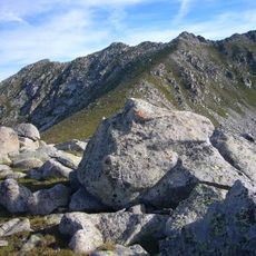
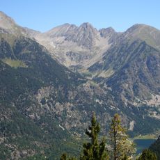
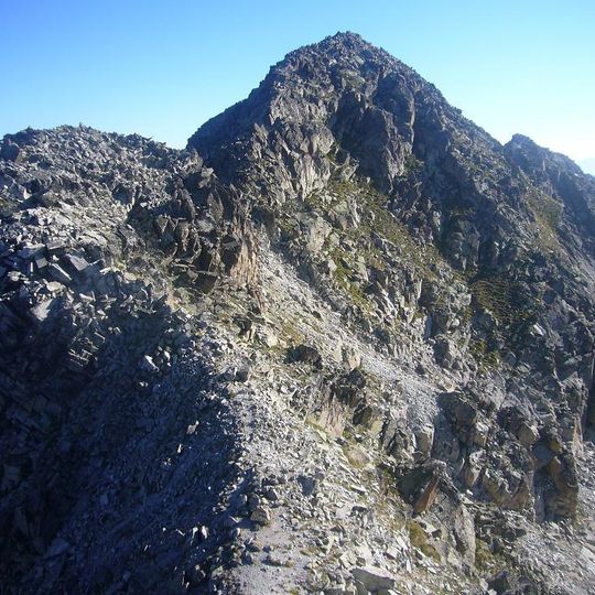
Punta Alta de Comalesbienes is a 3,014-metre summit in the Vall de Boí, within Aigüestortes i Estany de Sant Maurici National Park. It rises east of the Cavallers reservoir on the ridge between the Capçalera de Caldes and the Vall de Comalesbienes, with the Pic de Comalesbienes to the southwest, Coll Arenós to the north and Coll de Comalesbienes to the east. A geodesic vertex, number 258068006 of the Institut Cartogràfic de Catalunya, stands on the summit.
The summit was first climbed in the summer of 1880 by Schrader and H. Passet. The peak is included in the FEEC's list of 100 summits under the name Punta Alta, and it carries the geodesic vertex 258068006 of the Institut Cartogràfic de Catalunya.
The peak appears on the FEEC's list of the 100 Cims, a Catalan hiking challenge, under the name Punta Alta. Walkers aiming to complete the list treat it as one of the summits to tick off, alongside the nearby Pic de Comalesbienes.
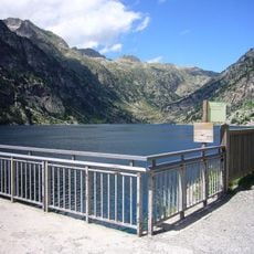
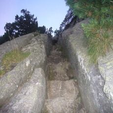
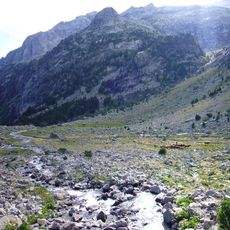
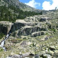
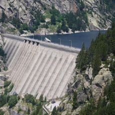
Three approach routes are described. From the Vall de Comalesbienes, the path starts beside the barrier closing the road to the Cavallers dam, about 400 m before it at 1,743 m, then climbs east along the ravine. Alternatives run from the Refugi Joan Ventosa i Calvell via Estany Gran de Colieto and Coll Arenós, or from the Cavallers dam along the western shore and up the Barranc de Comalespada.
The climb presents very different challenges depending on the season. In winter it becomes a serious mountaineering objective that requires ice axes, crampons, and other winter climbing gear.
The community of curious travelers
AroundUs brings together thousands of curated places, local tips, and hidden gems, enriched daily by 94,218 contributors worldwide.