
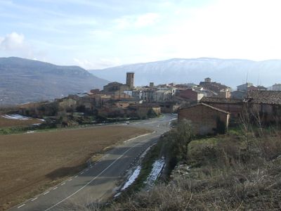
Guàrdia de Noguera, human settlement in Castell de Mur, Pallars Jussà, Alt Pirineu i Aran, Spain
Location: Castell de Mur
Elevation above the sea: 536 m
Part of: Guàrdia de Tremp
GPS coordinates: 42.09225,0.87721
Latest update: May 1, 2025 00:30
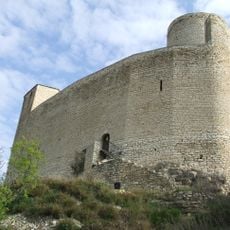
Castle of Mur
2.2 km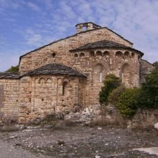
Santa Maria de Mur (Monastery)
2.1 km
Castell de Guàrdia
994 m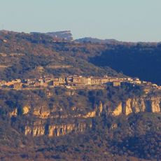
Recinte fortificat de la vila de Llimiana
3.7 km
Sant Salvador de la Serra
3.6 km
Sant Salvador d'Estorm
3.1 km
Miravet
3.5 km
Torre d'Estorm
3.1 km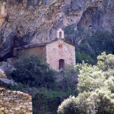
Mare de Déu del Roser de les Esplugues
1.9 km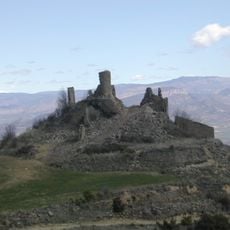
Casa forta de Miravet
3.5 km
Les Mosques
3.7 km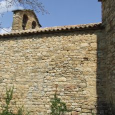
Santa Llúcia de Mur
1.5 km
Sant Feliu de Guàrdia
1 km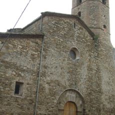
Santa Maria de Guàrdia de Tremp
47 m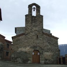
Santa Maria de Cellers
2.8 km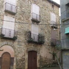
Casa Roca
58 m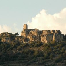
Cingle del Castell
1.2 km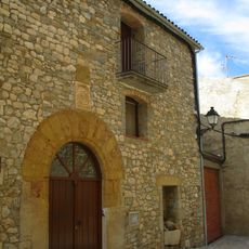
Casa de l'Abat
3.7 km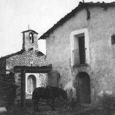
Masia de Perejaia
2 km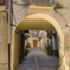
Carrer Nou
22 m
Corral de Carrió
3.5 km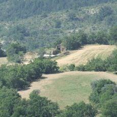
Masia de Miret
2.8 km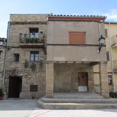
Casa de Serra
3.7 km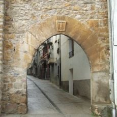
Carrer Major
46 m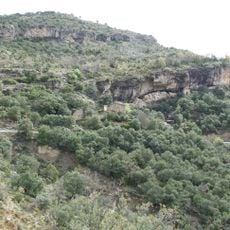
Solà de les Esplugues
1.6 km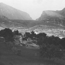
Masia de Pruna
2.9 km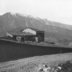
Masia de Portet
3 km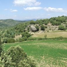
Los Corrals
3.4 kmReviews
Visited this place? Tap the stars to rate it and share your experience / photos with the community! Try now! You can cancel it anytime.
Discover hidden gems everywhere you go!
From secret cafés to breathtaking viewpoints, skip the crowded tourist spots and find places that match your style. Our app makes it easy with voice search, smart filtering, route optimization, and insider tips from travelers worldwide. Download now for the complete mobile experience.

A unique approach to discovering new places❞
— Le Figaro
All the places worth exploring❞
— France Info
A tailor-made excursion in just a few clicks❞
— 20 Minutes