
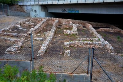
Fondo d'en Roig, archaeological site in Cunit, Spain
Location: Cunit
Elevation above the sea: 84 m
GPS coordinates: 41.21202,1.62068
Latest update: March 9, 2025 10:00
Ciutadella ibèrica de Calafell
4.1 km
Cal Pla
790 m
Castell de Cubelles
4.4 km
Mas de Sant Antoni
971 m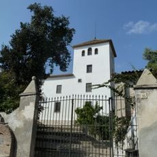
Castell de Cunit
1.9 km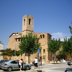
Sant Cristòfol de Cunit
1.9 km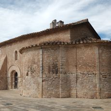
Sant Miquel de Segur
2.1 km
Platja de la Mota de Sant Pere
4 km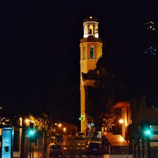
Santa Maria de Cubelles
4.4 km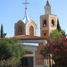
Temple de la Mare de Déu de Montserrat
3.7 km
Església de l'Assumpció
2.5 km
Cal Bolavà
4.4 km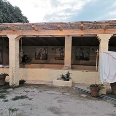
Safareigs públics de Cubelles
4.3 km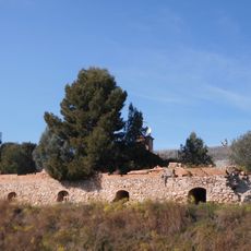
Bòbila de Bellamar
4.2 km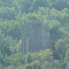
Torre d'en Viola
3.7 km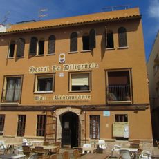
Hostal de la Diligència
1.9 km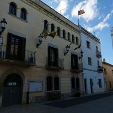
Ajuntament de Cubelles
4.4 km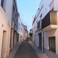
Conjunt del carrer Major
4.3 km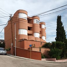
Edifici Marbore
2.7 km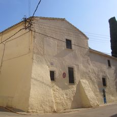
Casa Marquès
1.9 km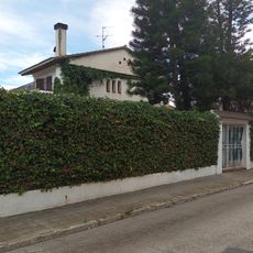
Xalet al carrer Grècia, 12
2.5 km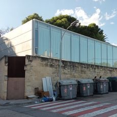
Edifici de Vidre
4.4 km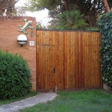
Xalet a la rambla de la Costa Daurada, 11-13
4.4 km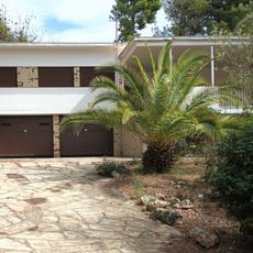
Xalet a l'avinguda de França, 30
2.8 km
Carrer de la Pau
4.3 km
Xalet a l'avinguda de França, 27-29
2.9 km
Biblioteca Casa Nova
2.2 kmVisited this place? Tap the stars to rate it and share your experience / photos with the community! Try now! You can cancel it anytime.
Discover hidden gems everywhere you go!
From secret cafés to breathtaking viewpoints, skip the crowded tourist spots and find places that match your style. Our app makes it easy with voice search, smart filtering, route optimization, and insider tips from travelers worldwide. Download now for the complete mobile experience.

A unique approach to discovering new places❞
— Le Figaro
All the places worth exploring❞
— France Info
A tailor-made excursion in just a few clicks❞
— 20 Minutes