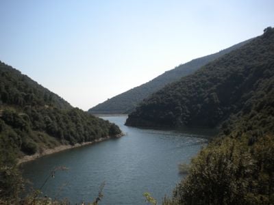
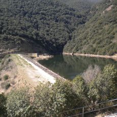
Pantà de Vallfornès, Stausee in Spanien
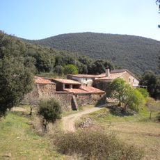
Pantà de Vallfornès is an earthen dam made from compacted stone and earth built between two mountain slopes in the Cànoves i Samalús valley. The structure reaches approximately 60 meters high and extends about 160 meters in length, holding nearly 2.3 million cubic meters of water for irrigation and local drinking water supply.
Construction of the dam began in March 1985 and finished in 1989, making it the first dam in Catalonia built primarily from compacted earth and stone. It was designed to regulate water flow from the Vallfornès stream and provide water supply to nearby towns and farms in the Besòs basin.
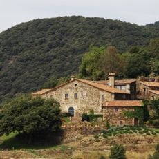
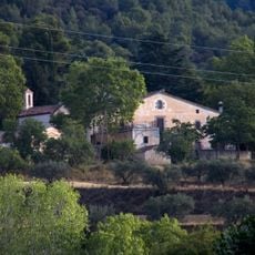
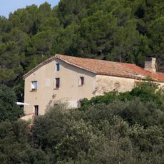
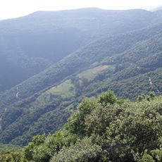
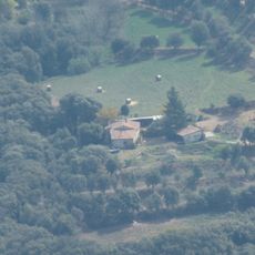
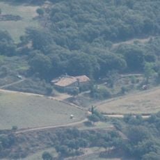
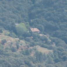
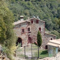
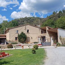
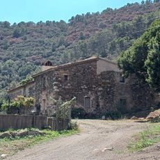
The reservoir became integrated into local life as a water management landmark that residents depend on for agriculture and daily needs. Its design blends into the mountainous terrain, becoming part of how people experience this rural Catalan valley.
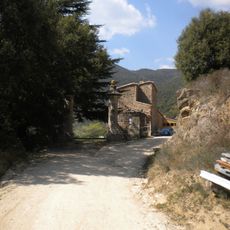
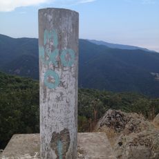
Park your car at the entrance marked by a chain barrier and continue on foot from there. The walk to reach the dam involves a long uphill climb that may challenge those unaccustomed to extended hiking, though the path itself is wide and straightforward to follow.
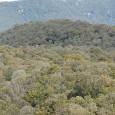
The dam was designed with a special Italian-inspired shape called a laghetto collinare, featuring an artificial hill in the middle with trees and bushes planted on top. This design allows the structure to blend naturally into the mountain landscape while avoiding an industrial appearance.
The community of curious travelers
AroundUs brings together thousands of curated places, local tips, and hidden gems, enriched daily by 60,000 contributors worldwide.