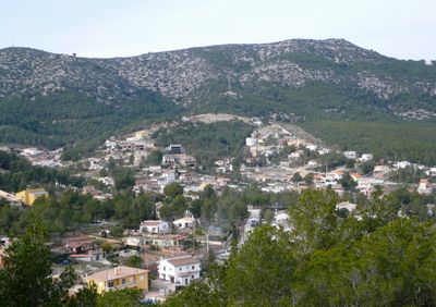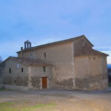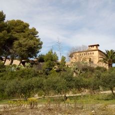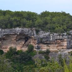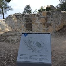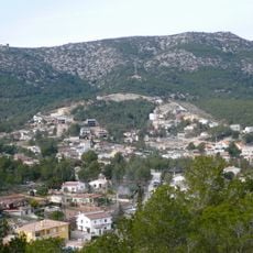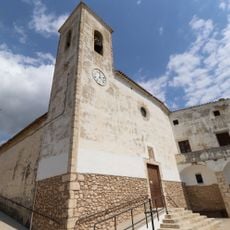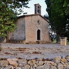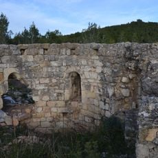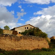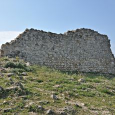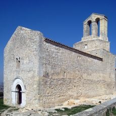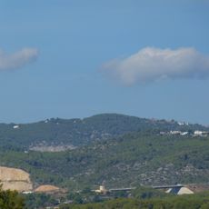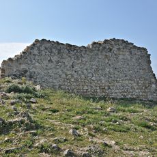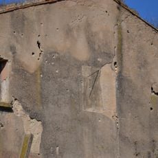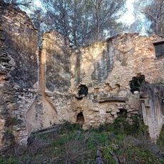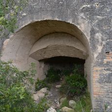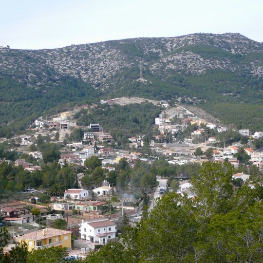
Puig de l'Àliga, Mountain summit in Canyelles and Olèrdola, Spain.
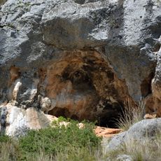
Puig de l'Àliga is a 464-metre mountain on the boundary between Olèrdola, in the Alt Penedès, and Canyelles, in the Garraf. A geodetic vertex, reference 278131001, stands at the summit, and the peak is listed among the FEEC's 100 cims. The summit rises about 261 metres above the surrounding terrain.
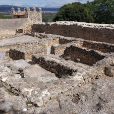
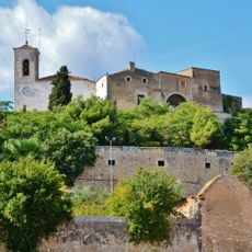
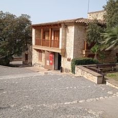
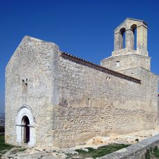
The mountain stands near the ancient Olèrdola settlement, which was inhabited and contained workshops and defensive structures from the 8th century BC. The long presence of people in this area shows how the land shaped settlement patterns in early times.
The name Puig de l'Àliga means Eagle Hill in Catalan, following the common Catalan habit of naming peaks after birds and animals. The summit is listed among the 100 Cims de la FEEC, a catalogue of 100 peaks published by the Catalan Federation of Hiking Clubs, so walkers treat it as a collecting goal. A geodetic vertex, reference 278131001, stands on top.
Visitors can reach the summit using a hiking trail that starts from a parking area near Daltmar road. The path is straightforward, and sturdy footwear plus water are important for a comfortable climb.
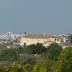
The summit offers views that stretch from Montserrat to the Garraf coastline, showing how the landscape connects with other notable places in the region. On clear days, visitors can see multiple ridges and distant coastlines from the top.
The community of curious travelers
AroundUs brings together thousands of curated places, local tips, and hidden gems, enriched daily by 94,368 contributors worldwide.