Turó d'en Galceran, Mountain summit in Serra de Marina, Spain
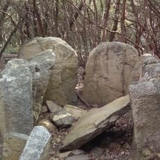
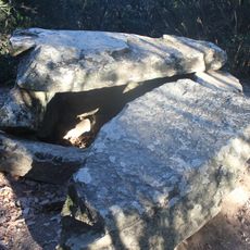
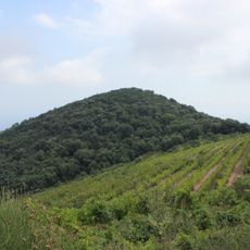
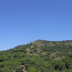
Turó d'en Galceran is a summit in the Serra de Marina with an elevation of 484 meters, formed from porphyry rock. The landscape around it slopes naturally from the peak, revealing a dramatic geological profile that changes with the seasons and light.
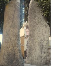
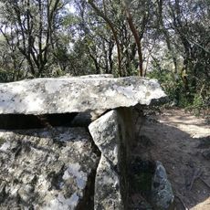
A stone monument on the summit was used in 1794 to measure the Dunkirk–Barcelona meridian, the survey that helped determine the length of the metre. It served the triangulation of the vertex formed by Matagalls, Puig Rodó and Turó d'en Galzeran. A geodesic vertex, reference 291120001, now stands at the top.
The summit marks the meeting point of the municipalities of Alella, Tiana and Martorelles de Dalt, and locally it is also called el Telègraf. It appears in the FEEC list of the 100 cims under the name Turó d'en Galzeran or d'en Mates.
The GR92 hiking trail leads to the summit, with the climb taking around 90 minutes from the start. Sturdy footwear is advisable, and visitors should bring water since the exposed terrain offers little shelter.
The summit marks the meeting point of the municipalities of Alella, Tiana and Martorelles de Dalt, and it offers the widest panorama of the whole surrounding area. A geodesic vertex, reference 291120001, stands at the top.
The community of curious travelers
AroundUs brings together thousands of curated places, local tips, and hidden gems, enriched daily by 93,936 contributors worldwide.