
Augas Santas, Civil parish of the municipality of Palas de Rei
Location: Palas de Rei
Elevation above the sea: 571 m
GPS coordinates: 42.94111,-7.85694
Latest update: March 7, 2025 04:23

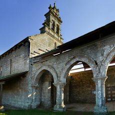
Church of the Saviour
6.7 km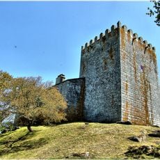
Fortress of San Paio
7.9 km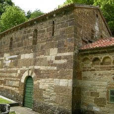
Iglesia de San Antolín de Toques
11.1 km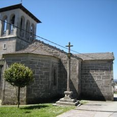
Church of Saint Thyrsus
7.7 km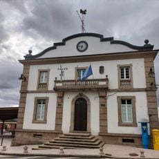
Town Hall of Palas de Rei
7.6 km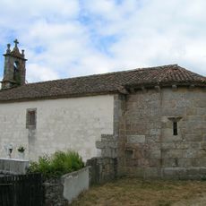
Church of Saint Julian
8.4 km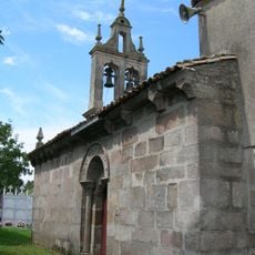
Church of Saint James the Great
10.9 km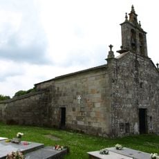
Church of Saint George
3 m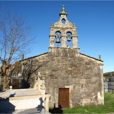
Church of Santiago de Ligonde
10.3 km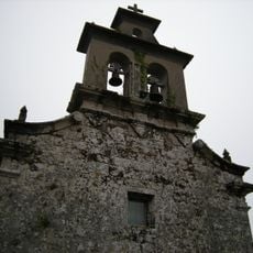
Church of Saint Martin
3.2 km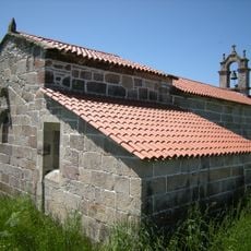
Church of San Xoán de Lodoso
11.6 km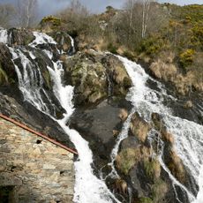
Waterfall of Brañas
9.6 km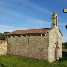
Church of Santa María de Tarrío
10.3 km
Church of Saint Martin
9.9 km
Church of Saint John
7.9 km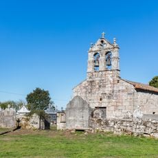
Church of Saint James the Great
8.2 km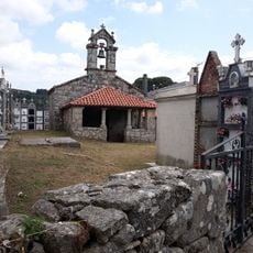
Church of the Saviour
1.3 km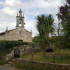
Church of Saint Mary
8.9 km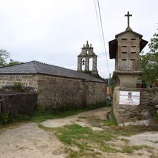
Church of Saint Felix
2.9 km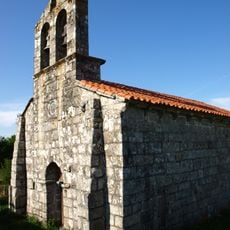
Church of Saint Marina
5.6 km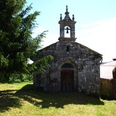
Church of Saint Vincent
7.1 km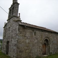
Church of Saint Michael
4.8 km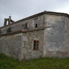
Church of Saint Vincent
2.5 km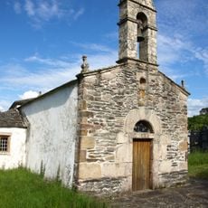
Church of Saint Mary
8 km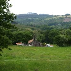
Church of Saint Thomas
2.7 km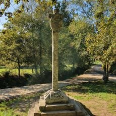
Cruz de Lameiros
11.6 km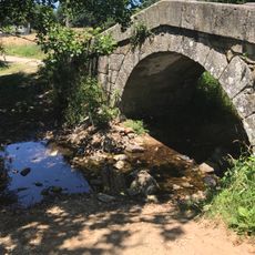
Puente sobre el río Seco
10.7 km
Biblioteca Pública Municipal de Palas de Rei
7.7 kmReviews
Visited this place? Tap the stars to rate it and share your experience / photos with the community! Try now! You can cancel it anytime.
Discover hidden gems everywhere you go!
From secret cafés to breathtaking viewpoints, skip the crowded tourist spots and find places that match your style. Our app makes it easy with voice search, smart filtering, route optimization, and insider tips from travelers worldwide. Download now for the complete mobile experience.

A unique approach to discovering new places❞
— Le Figaro
All the places worth exploring❞
— France Info
A tailor-made excursion in just a few clicks❞
— 20 Minutes