
La Rebollá, Spanish civil parish (parroquia) in Mieres, Asturias
Location: Mieres
Elevation above the sea: 345 m
Shares border with: La Peña, Siana, Lloreo, Baíña, Olloniego
GPS coordinates: 43.26799,-5.78835
Latest update: May 21, 2025 03:09
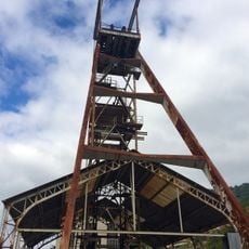
Mine shaft Santa Barbara (Turon)
8.2 km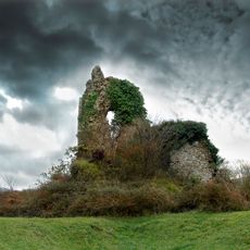
Castle of Tudela (Olloniego)
4.5 km
Historic site of Olloniego
4.8 km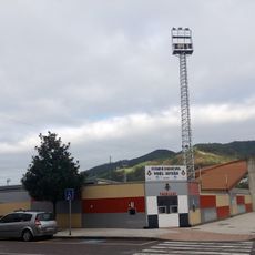
Estadio Hermanos Antuña
1.4 km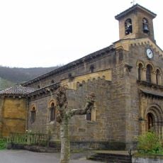
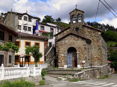
Church of Santa Eulalia de Ujo
7.1 km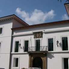
Palace of Camposagrado (Mieres)
2.9 km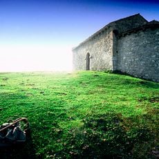
Ermita de la Magdalena
8.2 km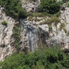
Abrigo de la Viña
5.9 km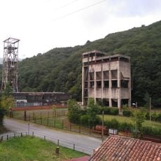
Pozo Polio
6 km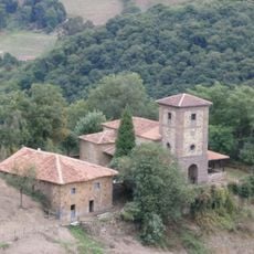
Santuario de los mártires Cosme y Damián
5.4 km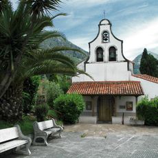
Iglesia de Santa Eulalia (Morcín)
7.6 km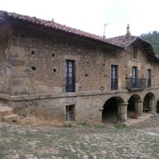
Palacio del Valletu
5.1 km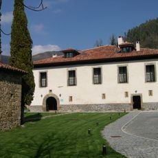
Upper palace of Cenera (palacio de arriba)
6.1 km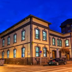
Casa de Cultura Teodoro Cuesta
2.3 km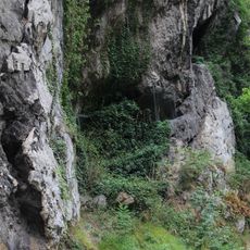
Abrigo de Entrefoces
6.8 km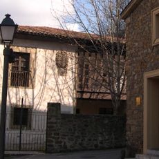
Casa Duró
2.9 km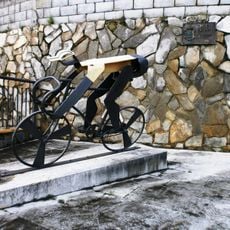
Tribute to Marino Lejarreta
5.8 km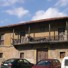
Lower palace of Cenera (palacio de abajoAsturias)
6.1 km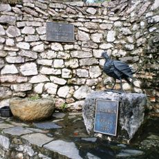
Calamón
5.8 km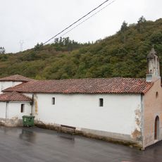
Iglesia de Nuestra Señora del Rosario
4.4 km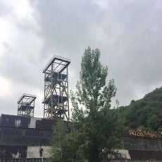
Castillete del pozo Polio n.º 1
6 km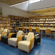
Biblioteca Pública Municipal de Mieres - Vital Aza
2.3 km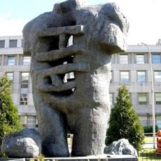
Sculpture
3.1 km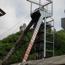
Castillete del pozo San Inocencio
6.7 km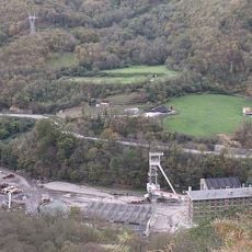
Castillete del pozo Montsacro
7.3 km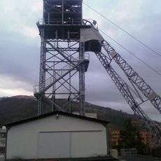
Castillete del pozo Barredo
3 km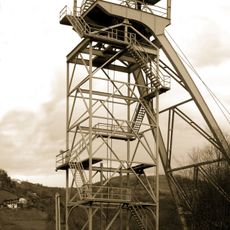
Castillete del pozo Tres Amigos
4.9 km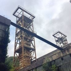
Castillete del pozo Polio n.º 2
6 kmReviews
Visited this place? Tap the stars to rate it and share your experience / photos with the community! Try now! You can cancel it anytime.
Discover hidden gems everywhere you go!
From secret cafés to breathtaking viewpoints, skip the crowded tourist spots and find places that match your style. Our app makes it easy with voice search, smart filtering, route optimization, and insider tips from travelers worldwide. Download now for the complete mobile experience.

A unique approach to discovering new places❞
— Le Figaro
All the places worth exploring❞
— France Info
A tailor-made excursion in just a few clicks❞
— 20 Minutes