
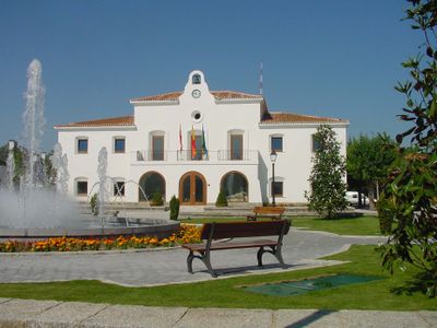
Town Hall of Villanueva de la Cañada, sede del ayuntamiento de Villanueva de la Cañada, España
Location: Villanueva de la Cañada
GPS coordinates: 40.44658,-4.00537
Latest update: March 3, 2025 00:11
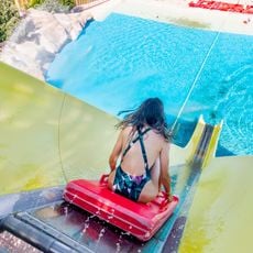
Aquopolis
1.8 km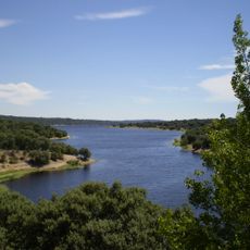
Valmayor Reservoir
10.6 km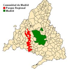
Regional Park of Middle Guadarrama River
7 km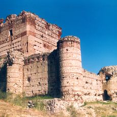
Castle of Aulencia
4.3 km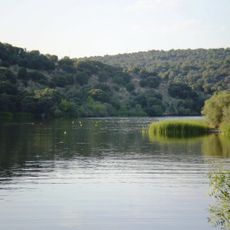
Cerro Alarcón reservoir
8.1 km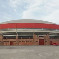
Bullring in Valdemorillo
7.9 km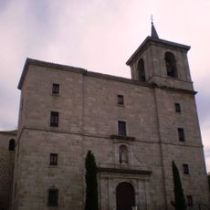
Church of Our Lady of the Assumption
8.1 km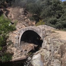
Pasadero bridge
7.8 km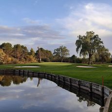
Club de golf El Bosque
8.8 km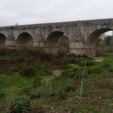
Bridge of Retamar
9.8 km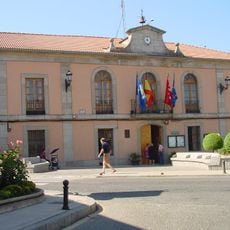
Town hall of Valdemorillo
8.1 km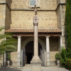
Church of Our Lady of the Star, Navalagamella
10 km
Town Hall of Quijorna
4.9 km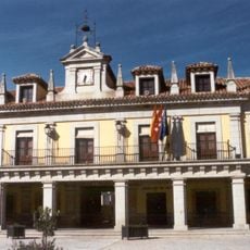
Casa consistorial de Brunete
4.6 km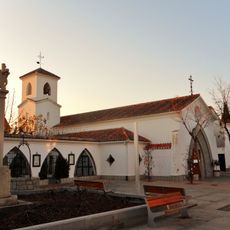
Old Church of St. Luke the Evangelist, villanueva del Pardillo
6 km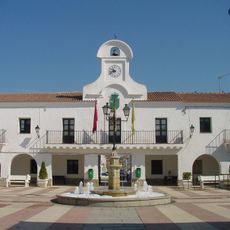
Town Hall of Villanueva del Pardillo
6 km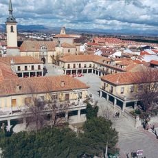
Plaza Mayor de Brunete
4.6 km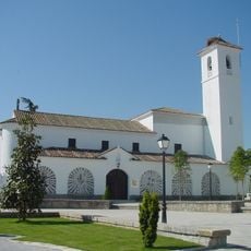
Church of Santiago Apóstol (Villanueva de la Cañada)
35 m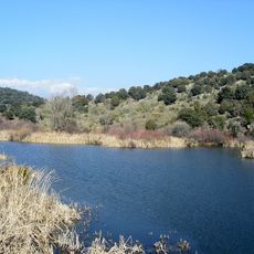
Aulencia Reservoir
8.1 km
Town Hall of Navalagamella
10.3 km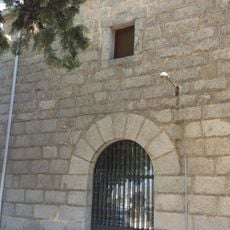
Ermita de la Paz del cementerio de Valdemorillo
7.4 km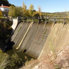
Aulencia Dam
8 km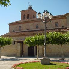
Iglesia parroquial de San Juan Evangelista, Quijorna
4.9 km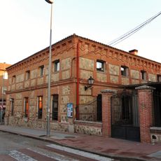
La Casona, Villanueva del Pardillo
5.9 km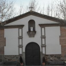
Ermita de San Isidro ,Villanueva de la Cañada
415 m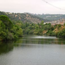
Embalse de Molino de la Hoz
11 km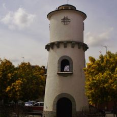
Depósito de agua, Villanueva del Pardillo
5.8 km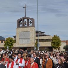
New Church of St. Luke the Evangelist, Villanueva del Pardillo
6.5 kmVisited this place? Tap the stars to rate it and share your experience / photos with the community! Try now! You can cancel it anytime.
Discover hidden gems everywhere you go!
From secret cafés to breathtaking viewpoints, skip the crowded tourist spots and find places that match your style. Our app makes it easy with voice search, smart filtering, route optimization, and insider tips from travelers worldwide. Download now for the complete mobile experience.

A unique approach to discovering new places❞
— Le Figaro
All the places worth exploring❞
— France Info
A tailor-made excursion in just a few clicks❞
— 20 Minutes