Los Puertos de Santa Bárbara
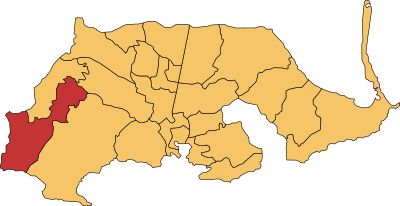
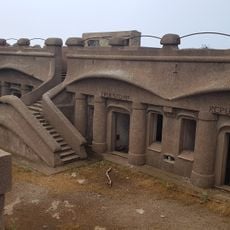
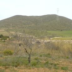
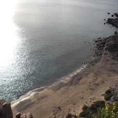
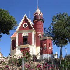
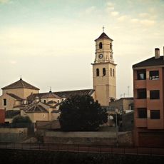
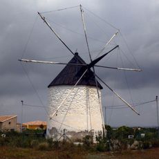
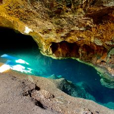
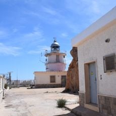
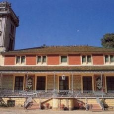
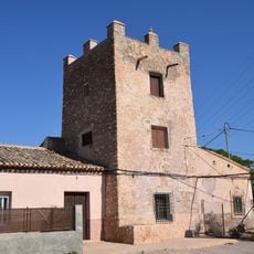
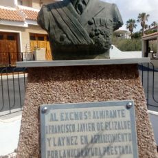
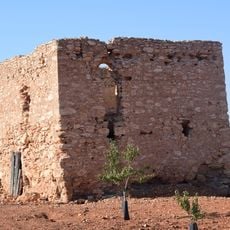
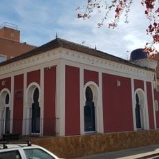
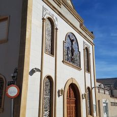
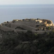
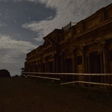
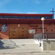
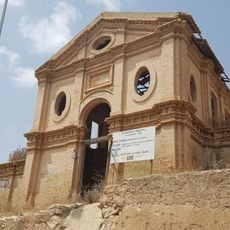
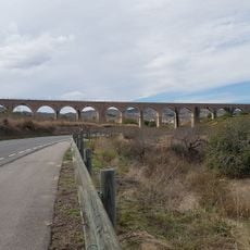
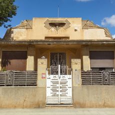
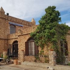
Los Puertos de Santa Bárbara, entidad colectiva de población de Cartagena (España)
Location: Cartagena
Elevation above the sea: 0 m
GPS coordinates: 37.63911,-1.14218
Latest update: March 7, 2025 15:29
Batería de Castillitos
11.2 km
Ancient Roman quarries of Cartagena
9.1 km
Santa Elena tower
10.4 km
Batería de Roldán
10.6 km
Cabezo Negro de Tallante
2.2 km
Playa de Fatares
11.7 km
Castillito de Los Dolores
12.1 km
Iglesia de San Agustín (Fuente Álamo de Murcia)
9.8 km
Molino viejo de Zabala
5.9 km
Cueva del Agua
9.8 km
Faro de Cabo Tiñoso
11.9 km
Torre Llagostera
11.9 km
Torre Rubia
6.6 km
Monument to Admiral Elizalde
10 km
Torre del Moro
4.2 km
Casa Árabe
11.8 km
Church of Cristo de la Salud
12.1 km
Batería de Jorel
11.7 km
Batería de Atalayón
11 km
Church of María Auxiliadora
11.6 km
Canteras water tank
9.1 km
Villa Lolita
11.9 km
Aqueduct of Perín
3.6 km
Chalet Orduña
11.9 km
Casa del Inglés
3.8 km
Cross of the fallen in San José Obrero, Cartagena
11 km
Cueva del Gigante
9.7 km
Playa de Portús
8.8 kmReviews
Visited this place? Tap the stars to rate it and share your experience / photos with the community! Try now! You can cancel it anytime.
Discover hidden gems everywhere you go!
From secret cafés to breathtaking viewpoints, skip the crowded tourist spots and find places that match your style. Our app makes it easy with voice search, smart filtering, route optimization, and insider tips from travelers worldwide. Download now for the complete mobile experience.
A unique approach to discovering new places❞
— Le Figaro
All the places worth exploring❞
— France Info
A tailor-made excursion in just a few clicks❞
— 20 Minutes