
El Torn, Village of the municipality of Sant Ferriol
Location: Sant Ferriol
Elevation above the sea: 247 m
GPS coordinates: 42.16075,2.64517
Latest update: March 11, 2025 22:34
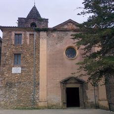
Santa Maria del Collell
1.5 km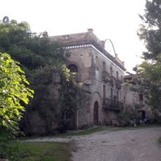
Can Rovira
3.9 km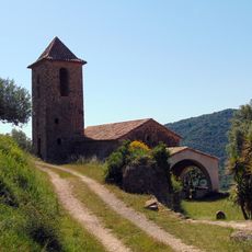
Sant Miquel de la Miana
2.4 km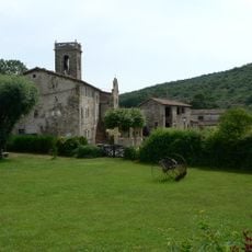
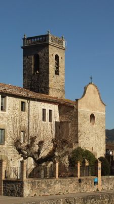
Sant Andreu del Torn
58 m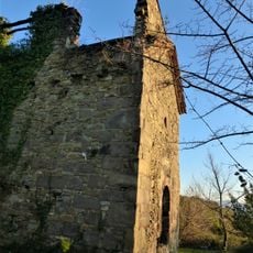
Sant Silvestre del Mor
2.5 km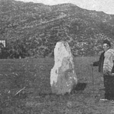
Pedra del Diable
4 km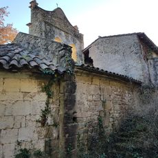
Sant Esteve de Briolf
3.7 km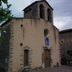
Sant Vicenç del Sallent
2.6 km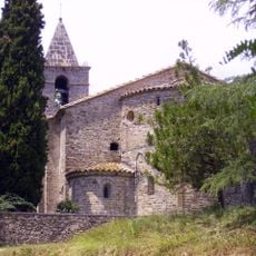
Església de Sant Miquel de Campmajor
3.9 km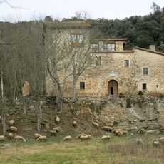
Castell de Roca
2.9 km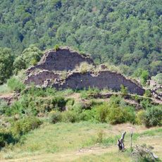
Castell de la Miana
2.3 km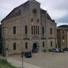
Església Nova de Santa Maria del Collell
1.5 km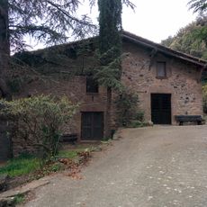
Can Manté del Sallent
2.4 km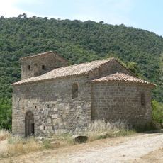
Church of Saint Fructuosus of Ossinyà
4.3 km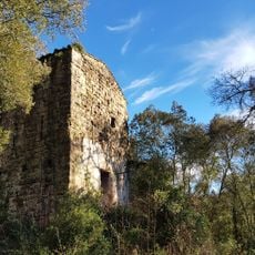
Torre de Brió
3.7 km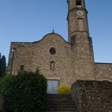
Sant Pere de Mieres
3.8 km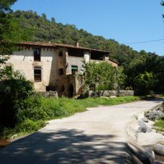
Molí d'en Fàbrega
71 m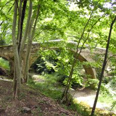
Pont medieval
3.8 km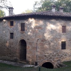
Antic molí
4.1 km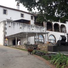
Casal de Can Batlle
3.1 km
House in carrer de Sant Pere, 9
3.8 km
House in barri de la Cellera, 8
4.2 km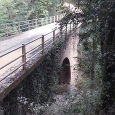
Pont del Mas Batlle
3.3 km
Rectoria de Sant Miquel de la Miana
2.4 km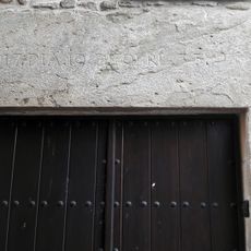
House in barri de la Cellera, 4
4.3 km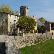
Rectoria del Torn
42 m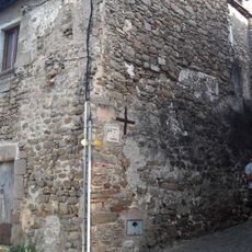
House number 1 in the bario of the Romeria (Mieres)
4.3 km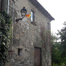
House in barri de la Romeria, 6
4.3 kmReviews
Visited this place? Tap the stars to rate it and share your experience / photos with the community! Try now! You can cancel it anytime.
Discover hidden gems everywhere you go!
From secret cafés to breathtaking viewpoints, skip the crowded tourist spots and find places that match your style. Our app makes it easy with voice search, smart filtering, route optimization, and insider tips from travelers worldwide. Download now for the complete mobile experience.

A unique approach to discovering new places❞
— Le Figaro
All the places worth exploring❞
— France Info
A tailor-made excursion in just a few clicks❞
— 20 Minutes