Camino de Arratondo 2, Megalithic monument in Navarre, protected archeological heritage
Location: Urbasa mountain range
Elevation above the sea: 905 m
Part of: estación megalítica de Sierra De Urbasa
GPS coordinates: 42.81680,-2.12669
Latest update: October 25, 2025 06:06
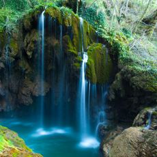
Urederra waterfall
1.6 km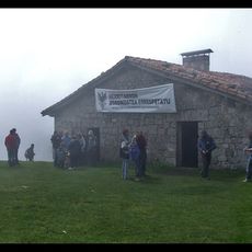
Santa Marina baseliza
6.1 km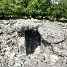
Artekosaro
776 m
Obas 1 ekialde (Lubierri)
5.2 km
Mugako arriya (Bretxagaña)
3.4 km
Otsaportillo 3 center
4.7 km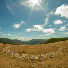
Zurgaina tumulua
2.1 km
Menhir of Saint Marina
5.7 km
Las Campanas
3.4 km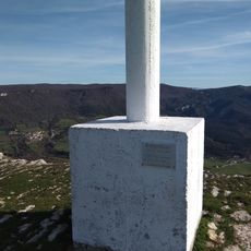
Larregoiko
4.9 km
Bentakeita
5.5 km
Otsaportillo 1 north
4.7 km
Gortasoro 2 hego
3.1 km
Peña Alta
2.9 km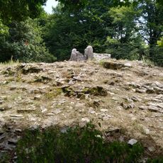
La Cañada
973 m
Baizaundi
3.5 km
Gortasoro 1 ipar
3.1 km
Otsaportillo 2 south
4.5 km
Urdiaingo portua
6.1 km
Armorkora
2.2 km
Cascada de nacedero del Urederra
1.5 km
Pagadi Sorgindua
6 km
Bosque Encantado
5.8 km
Bosque Encantado
5.8 km
Bosque Encantado
5.8 km
Scenic viewpoint
5.9 km
Scenic viewpoint
4.9 km
Scenic viewpoint
1.5 kmReviews
Visited this place? Tap the stars to rate it and share your experience / photos with the community! Try now! You can cancel it anytime.
Discover hidden gems everywhere you go!
From secret cafés to breathtaking viewpoints, skip the crowded tourist spots and find places that match your style. Our app makes it easy with voice search, smart filtering, route optimization, and insider tips from travelers worldwide. Download now for the complete mobile experience.

A unique approach to discovering new places❞
— Le Figaro
All the places worth exploring❞
— France Info
A tailor-made excursion in just a few clicks❞
— 20 Minutes