
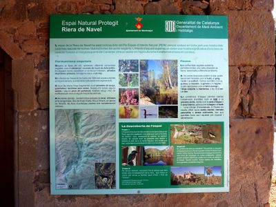
Riera de Navel, protected area in Spain
Location: Viver i Serrateix
Operator: Generalitat de Catalunya
GPS coordinates: 41.95908,1.75480
Latest update: March 9, 2025 17:47
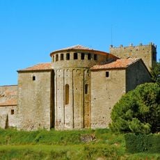
Santa Maria de Serrateix
2.3 km
Sant Joan de Montdarn
3.2 km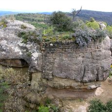
Castellot de Viver
4.6 km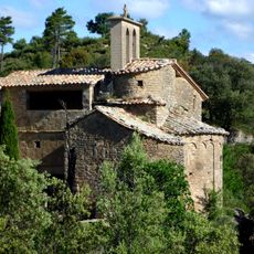
Sant Esteve del Pujol de Planès
974 m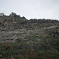
Castell de Querol
3.6 km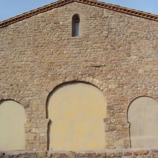
Sant Pere de Serrateix
2.3 km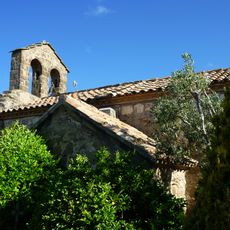
Santa Magdalena de Fígols
3.4 km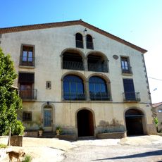
Fígols
3.4 km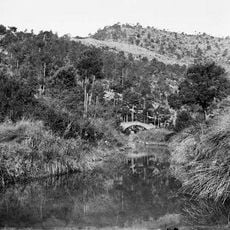
Pont del Molinet
2.6 km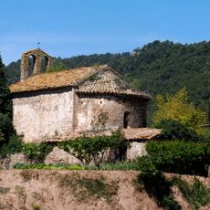
Sant Vicenç de Navel
3.5 km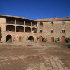
Les Cots (Sant Joan de Montdarn)
4.2 km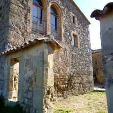
El Pujol de Planès
979 m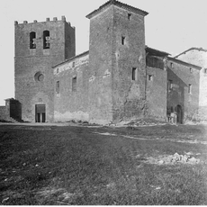
Palau abacial de Santa Maria de Serrateix
2.3 km
Sant Martí del Balaguer
1.9 km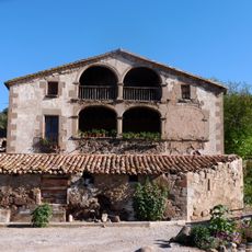
Navel (Viver i Serrateix)
3.5 km
Roc de Sant Joan
3 km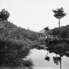
Molí de Navel
2.5 km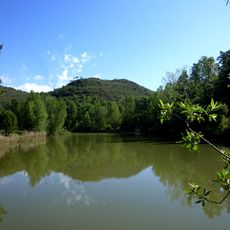
Pantà de Serrateix
515 m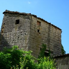
Cal Fèlix
2.7 km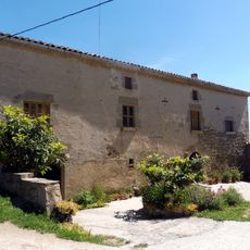
Cal Savés
2.8 km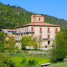
Vilanova
4.7 km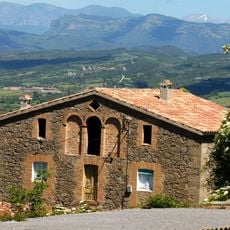
Capdecosta
2.2 km
Santfeliu
3.9 km
Torrebadella
1.2 km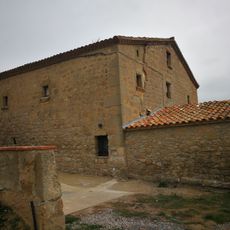
El Querol
3.7 km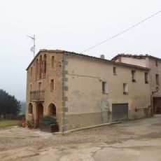
Cal Fuster
2.5 km
Castell de Viver
4.5 km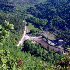
Cal Rebotit
1 kmReviews
Visited this place? Tap the stars to rate it and share your experience / photos with the community! Try now! You can cancel it anytime.
Discover hidden gems everywhere you go!
From secret cafés to breathtaking viewpoints, skip the crowded tourist spots and find places that match your style. Our app makes it easy with voice search, smart filtering, route optimization, and insider tips from travelers worldwide. Download now for the complete mobile experience.

A unique approach to discovering new places❞
— Le Figaro
All the places worth exploring❞
— France Info
A tailor-made excursion in just a few clicks❞
— 20 Minutes