Rytikari, Geographic point in Kemi, Finland
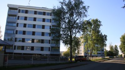
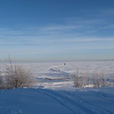
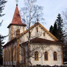
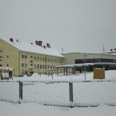
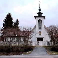
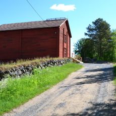
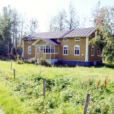
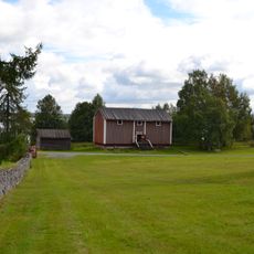
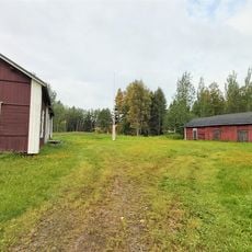
Rytikari is a geographic location on the northern Baltic Sea coast in Kemi, Finland. The area sits in a region where water and land meet along the Bothnian Bay.
The area became part of Finland's systematic mapping efforts during the 20th century as surveyors documented the northern coastline. This work established the foundation for understanding land and water boundaries in the region.
The National Land Survey of Finland maintains detailed records of this location, including topographic data, property boundaries, and statistical grid networks.
As a geographic location, this area is primarily of interest for mapping and research purposes. Visitors can explore the surroundings to understand the landscape and coastal environment.
The location connects to Finland's statistical grid system, which divides the area into precise 250-meter squares for detailed demographic analysis.
The community of curious travelers
AroundUs brings together thousands of curated places, local tips, and hidden gems, enriched daily by 60,000 contributors worldwide.