
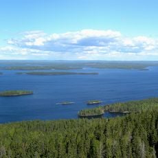
Aittolahti forestry hut, hut in Nurmes, Finland
Location: Nurmes
Elevation above the sea: 165 m
GPS coordinates: 63.62554,29.52466
Latest update: March 31, 2025 07:02
Koli
60.8 km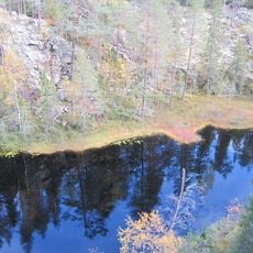
Hiidenportti National Park
35.8 km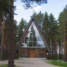
Paateri Church
58.7 km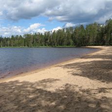
Tiilikkajärvi National Park
60.7 km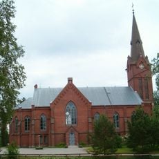
Nurmes Church
21.2 km
Kuhmo Arts Centre
56.2 km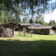
Pielinen Museum
43.1 km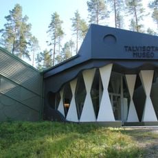
Winter war museum
54.8 km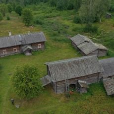
Murtovaara House Museum
35.9 km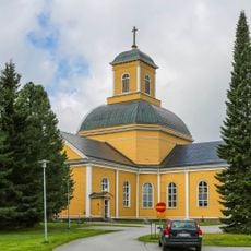
Kuhmo Church
55.8 km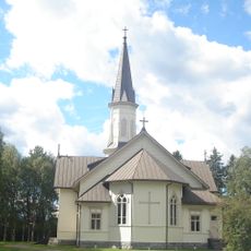
Viekijärvi Church
16.6 km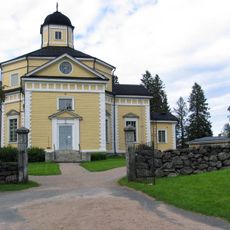
Juuka Church
44.4 km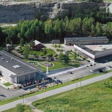
Finnish Stone Centre
50.2 km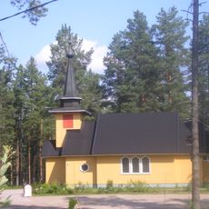
Pyhän Kolminaisuuden kirkko
36.1 km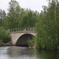
Tervasalmi bridge
55.5 km
Juminkeko
55.8 km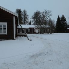
Tuupala museum
55.7 km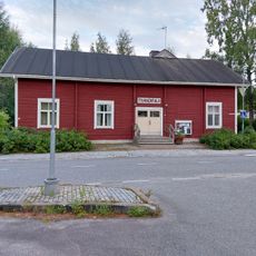
Juuan työväentalo
44.7 km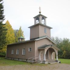
Juuan profeetta Elian tsasouna
44.7 km
Kuhmo Town Library
55.8 km
Soapstone Museum
50.2 km
Nurmes Church of the Apostles Peter and Paul
21 km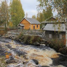
Juuka Mill Museum
44.8 km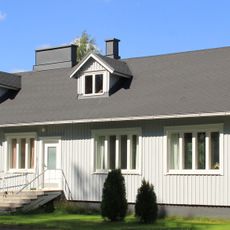
Nurmijärvi parish house
25.6 km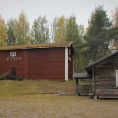
Juuka Municipal Museum
44.4 km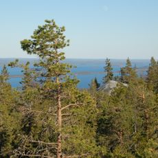
Paha-Koli
61.1 km
Pielisjärvi bell tower
42.9 km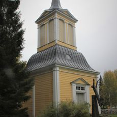
Belfry of Juuka Church
44.4 kmReviews
Visited this place? Tap the stars to rate it and share your experience / photos with the community! Try now! You can cancel it anytime.
Discover hidden gems everywhere you go!
From secret cafés to breathtaking viewpoints, skip the crowded tourist spots and find places that match your style. Our app makes it easy with voice search, smart filtering, route optimization, and insider tips from travelers worldwide. Download now for the complete mobile experience.

A unique approach to discovering new places❞
— Le Figaro
All the places worth exploring❞
— France Info
A tailor-made excursion in just a few clicks❞
— 20 Minutes