
Autotuonnin korttelin vanha bensiinimittarikatos, building in Tampere, Finland
Location: Tampere
Part of: Tampereen linja-autoasema ympäristöineen
Address: Ratinankuja
GPS coordinates: 61.49444,23.76786
Latest update: April 7, 2025 18:10
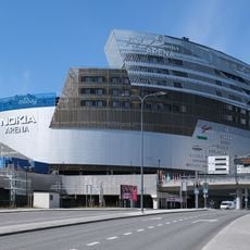
Tampere Deck Arena
334 m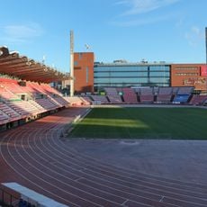
Tampere Stadium
292 m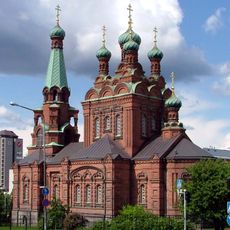
Tampere Orthodox Church
236 m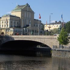
Hämeensilta
448 m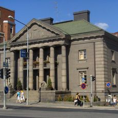
Haarla palace
314 m
Laukontori
422 m
Tempo Building
437 m
Tampere Savings Bank Building
446 m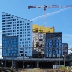
Sori Bridge
326 m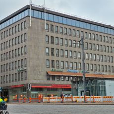
Bank of Finland house
362 m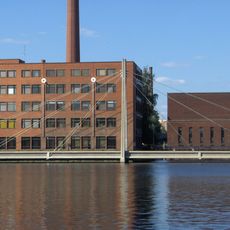
Vuolteensilta
187 m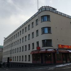
Huber House
432 m
Varma Building
403 m
Kehräsaari Bridge
260 m
Laukonlinna
436 m
SMK Building
406 m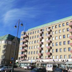
Tampere Trade Association Building
404 m
Osonen Building
317 m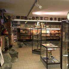
Finnish Boxing Museum
330 m
Sorin järjestötalo
438 m
Mokkapuisto
417 m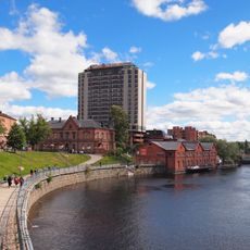
Verkatehtaanpuisto
367 m
Tammerkoski 8
369 m
Tammerkoski 9
292 m
Tammerkoski 6
340 m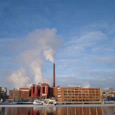
Kehräsaari (1)
242 m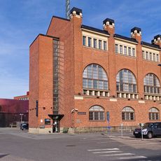
Höyryvoima-asema
341 m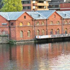
Verkatehtaan värjäämö
298 mReviews
Visited this place? Tap the stars to rate it and share your experience / photos with the community! Try now! You can cancel it anytime.
Discover hidden gems everywhere you go!
From secret cafés to breathtaking viewpoints, skip the crowded tourist spots and find places that match your style. Our app makes it easy with voice search, smart filtering, route optimization, and insider tips from travelers worldwide. Download now for the complete mobile experience.

A unique approach to discovering new places❞
— Le Figaro
All the places worth exploring❞
— France Info
A tailor-made excursion in just a few clicks❞
— 20 Minutes