Enable Location

We need your location to show you interesting places around you

Discover nearby places

Find interesting locations and hidden gems around you

Precise directions

Get accurate directions and distances to places

Your location is never shared with other users. It's only used when you tap the location button.

Semezanges

Log in to your account

Start exploring — it's free

Trusted by 61,990 travelers worldwide

Continue with Google
Continue with Apple
or

We will send you a code to connect

By continuing, you accept our Terms and Conditions and our Privacy Policy

Check your inbox

We've sent a pincode in your inbox. Please enter the code below.

Semezanges

Semezanges, Administrative territorial entity in Beaune, France.

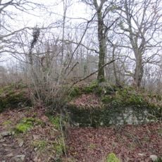
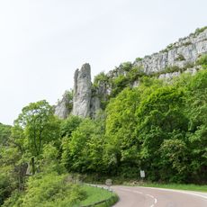
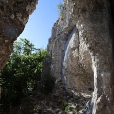
This small rural area covers approximately 8.14 square kilometers with 92 inhabitants, featuring elevations ranging from 362 to 596 meters and characterized by agricultural lands, vineyards, and forests comprising over 68% of its territory.

The settlement has ancient origins dating back to at least the 12th century, with its name evolving from Germanic roots through various forms like Samasingas, potentially connected to Roman colonial settlements in the Burgundy region.

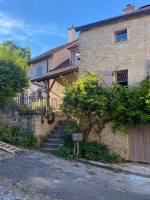
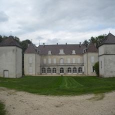
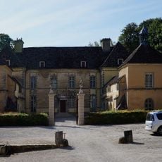
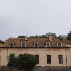
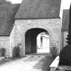
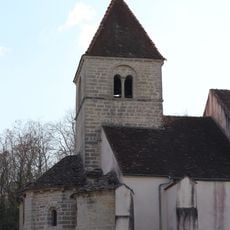
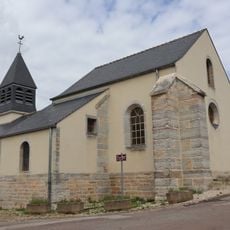
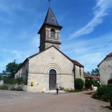
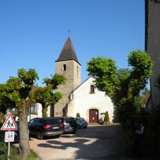
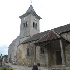
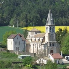
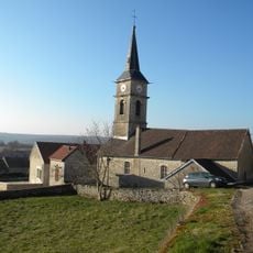
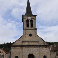
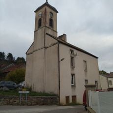
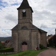
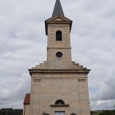
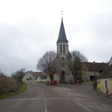
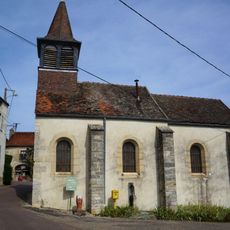
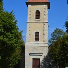
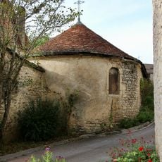
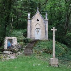
The community preserves traditional Burgundian customs through local festivals, regional cuisine featuring renowned wines and cheeses, while maintaining historic stone architecture including fountains, a washhouse, and religious buildings that reflect centuries of rural heritage.

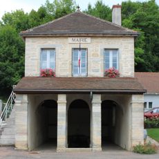
Currently administered by Mayor Alain Trapet since 2020, the commune operates under the canton of Longvic and belongs to the community of communes of Gevrey-Chambertin and Nuits-Saint-Georges, accessible via regional roads connecting Beaune and Dijon.

The village is notable for being the birthplace of Raymond Jarlaud in 1902, a prominent French aeronautical engineer whose career demonstrates the unexpected connection between this small rural community and France's technological advancement in aviation.

The community of curious travelers

AroundUs brings together thousands of curated places, local tips, and hidden gems, enriched daily by 60,000 contributors worldwide.

Start exploring
Location
Address
21220 Semezanges, France
GPS coordinates
47.21549,4.84976
Latest update
September 9, 2025 08:17
« Semezanges - Administrative territorial entity in Beaune, France » is provided by Around Us (aroundus.com). Images and texts are derived from Wikimedia project under a Creative Commons license. You are allowed to copy, distribute, and modify copies of this page, under the conditions set by the license, as long as this note is clearly visible.

Discover hidden gems everywhere you go!

From secret cafés to breathtaking viewpoints, skip the crowded tourist spots and find places that match your style. Our app makes it easy with voice search, smart filtering, route optimization, and insider tips from travelers worldwide. Download now for the complete mobile experience.

Around Us App Screenshot

A unique approach to discovering new places

Le Figaro

All the places worth exploring

France Info

A tailor-made excursion in just a few clicks

20 Minutes

Around Us
Travel Guide & Maps
Download

Send to your phone

QR Code
1

Open the camera app on your mobile.

2

Point at the QR code with your camera. A notification will appear.

3

Tap the notification to open the link.