
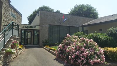
Montertelot, commune in Morbihan, France
Location: Morbihan
Location: Ploërmel Communauté
Location: arrondissement of Pontivy
Capital city: Montertelot
Elevation above the sea: 25 m
Industry: administration publique générale
Shares border with: Ploërmel, La Chapelle-Caro, Le Roc-Saint-André, Val d'Oust
Phone: +33297749239
Email: mairie.montertelot@ploermelcommunaute.bzh
GPS coordinates: 47.88056,-2.42194
Latest update: March 11, 2025 03:53
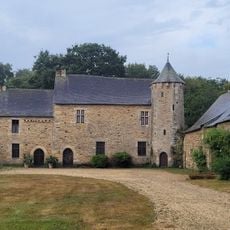
Manoir de la Touche-Carné
1.1 km
Château de Crévy
1 km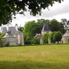
Château de la Haute-Touche
3.8 km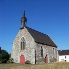
Chapelle Saint-Antoine de Ploërmel
4.4 km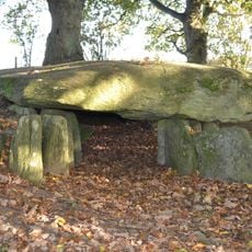
Dolmen de la Maison Trouvée
3.3 km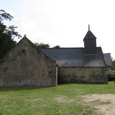
Chapelle Saint-Méen de La Chapelle-Caro
1.8 km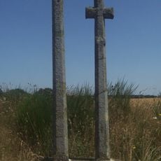
Croix Guyot
3 km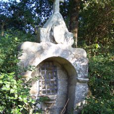
Fontaine Saint-Armel de Ploërmel
4.3 km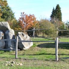
Allée couverte de Haut-Bézon
3.7 km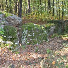
La Ville-Bouquet gallery grave
4.1 km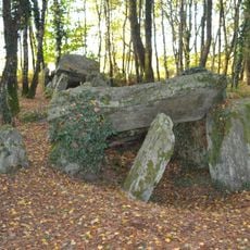
Allée couverte du Bignon
2.3 km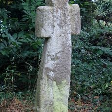
Croix de la Lande du Temple
4 km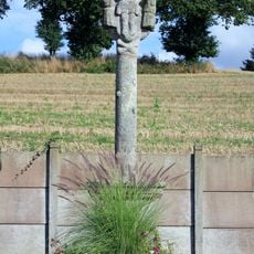
Calvaire de Montertelot
68 m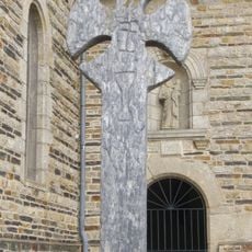
Croix de cimetière de Monterrein
4.8 km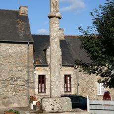
Croix de cimetière de Saint-Abraham
2.9 km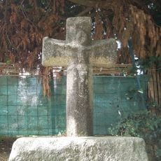
Croix de Bezon
3.8 km
Roc Aventure
2.6 km
Église Notre-Dame de La Chapelle-Caro
1.7 km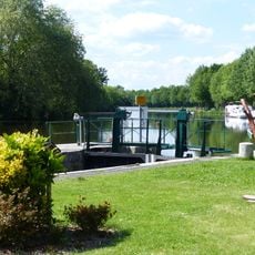
Écluse de Montertelot
121 m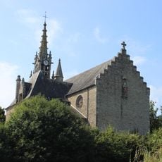
Église Saint-André du Roc-Saint-André
2.5 km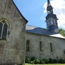
Église Saint-Laur de Montertelot
115 m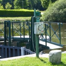
Écluse de Blon
2.3 km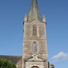
Église Saint-Étienne de Saint-Abraham
2.8 km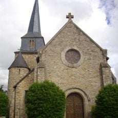
Église Saint-Malo de Monterrein
4.8 km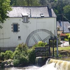
Moulin de Blond
2.3 km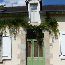
Maison éclusière de Blon
2.3 km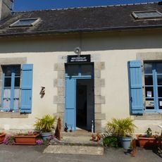
Maison éclusière de Montertelot
101 m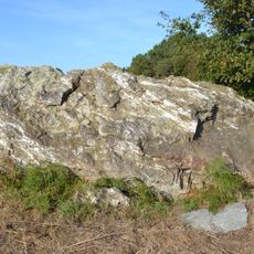
Pas de Gargantua
2.5 kmVisited this place? Tap the stars to rate it and share your experience / photos with the community! Try now! You can cancel it anytime.
Discover hidden gems everywhere you go!
From secret cafés to breathtaking viewpoints, skip the crowded tourist spots and find places that match your style. Our app makes it easy with voice search, smart filtering, route optimization, and insider tips from travelers worldwide. Download now for the complete mobile experience.

A unique approach to discovering new places❞
— Le Figaro
All the places worth exploring❞
— France Info
A tailor-made excursion in just a few clicks❞
— 20 Minutes