Enable Location

We need your location to show you interesting places around you

Discover nearby places

Find interesting locations and hidden gems around you

Precise directions

Get accurate directions and distances to places

Your location is never shared with other users. It's only used when you tap the location button.

Saint-Gaudens

Log in to your account

Start exploring — it's free

Trusted by 62,479 travelers worldwide

Continue with Google
Continue with Apple
or

We will send you a code to connect

By continuing, you accept our Terms and Conditions and our Privacy Policy

Check your inbox

We've sent a pincode in your inbox. Please enter the code below.

Saint-Gaudens, Sub-prefecture commune in Haute-Garonne, France.

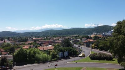
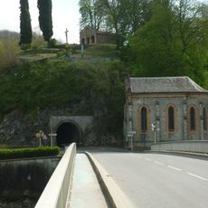
Saint-Gaudens is an administrative commune located in Haute-Garonne on a natural terrace at 405 meters elevation. From this position, the town offers unobstructed views toward the Pyrenees mountains and the Garonne river valley below.

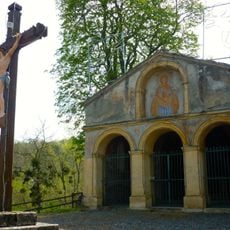
The settlement was originally called Mas-Saint-Pierre but gained its current name following the martyrdom of Saint Gaudens, a shepherd killed for his religious convictions. This name change reflects the local veneration of the saint in medieval times.

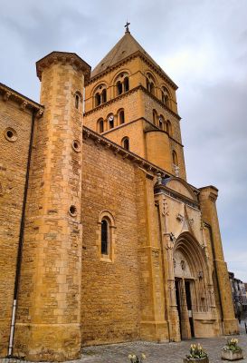
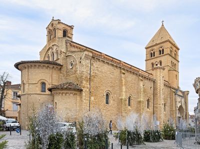
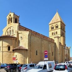
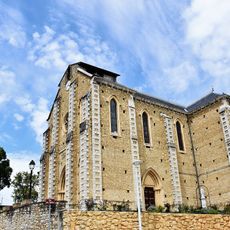
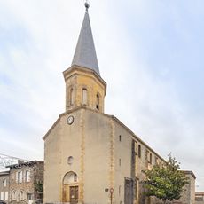
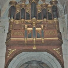
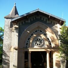
The Collegiate Church of Saint Peter displays Romanesque stone work mixed with additions from later centuries. Walking through its interior reveals how different architectural styles were layered over time.

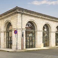
The railway station provides regular regional train connections to major cities including Toulouse, Bayonne, and Pau. The town's position on natural high ground makes it easy to walk around and get oriented.

The town sits at a crossroads between routes connecting the Atlantic and Mediterranean regions. It serves as a natural passage point linking Toulouse with the Val d'Aran in Catalonia.

The community of curious travelers

AroundUs brings together thousands of curated places, local tips, and hidden gems, enriched daily by 60,000 contributors worldwide.

Start exploring
Location
Inception
February 3, 2008
Elevation above the sea
398 m
Shares border with
Aspret-Sarrat, Estancarbon, Landorthe, Lieoux, Miramont-de-Comminges, Saux-et-Pomarède, Valentine, Villeneuve-de-Rivière
Address
31800 Saint-Gaudens, France
Website
GPS coordinates
43.10806,0.72333
Latest update
December 14, 2025 18:16
« Saint-Gaudens - Sub-prefecture commune in Haute-Garonne, France » is provided by Around Us (aroundus.com). Images and texts are derived from Wikimedia project under a Creative Commons license. You are allowed to copy, distribute, and modify copies of this page, under the conditions set by the license, as long as this note is clearly visible.

Discover hidden gems everywhere you go!

From secret cafés to breathtaking viewpoints, skip the crowded tourist spots and find places that match your style. Our app makes it easy with voice search, smart filtering, route optimization, and insider tips from travelers worldwide. Download now for the complete mobile experience.

Around Us App Screenshot

A unique approach to discovering new places

Le Figaro

All the places worth exploring

France Info

A tailor-made excursion in just a few clicks

20 Minutes

Around Us
Travel Guide & Maps
Download

Send to your phone

QR Code
1

Open the camera app on your mobile.

2

Point at the QR code with your camera. A notification will appear.

3

Tap the notification to open the link.