
Belleydoux, commune in Ain, France
Location: Ain
Location: arrondissement of Nantua
Elevation above the sea: 947 m
Shares border with: Champfromier, Échallon, Giron, Les Bouchoux, La Pesse, Viry
Phone: +33474764932
Email: mairie@belleydoux.fr
Website: http://belleydoux.fr
GPS coordinates: 46.25250,5.77750
Latest update: June 6, 2025 19:39
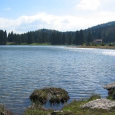
Lac Genin
7.1 km
Borne au Lion
7.2 km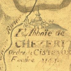
Abbaye de Chézery
7.7 km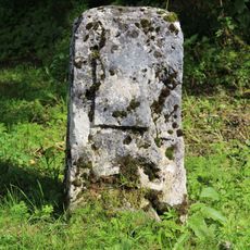
Borne frontière de la Buna
5 km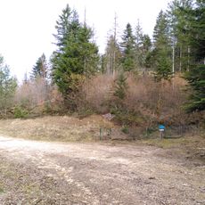
Réserve naturelle régionale du récif fossile de Marchon - Christian Gourrat
7.9 km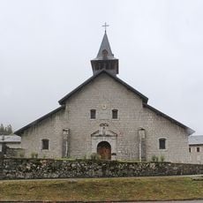
Église Notre-Dame-de-l'Assomption de Chézery-Forens
7.7 km
Église Saint-Maurice d'Échallon
5.2 km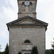
Église Notre-Dame-de-l'Assomption de Giron
3 km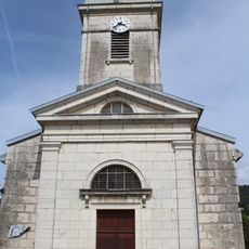
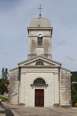
Église Saint-Sébastien de Belleydoux
61 m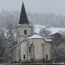
Église Saint-Martin de Champfromier
7 km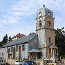
Église Saint-Oyant de La Pesse
6.6 km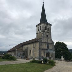
Église Saint-Romain de Viry
6.2 km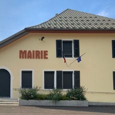
Mairie de Chézery-Forens
7.7 km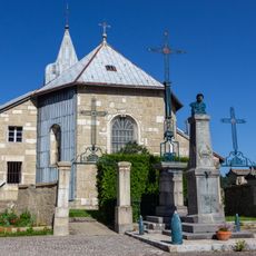
Église de l'Assomption-de-la-Vierge des Bouchoux
5.8 km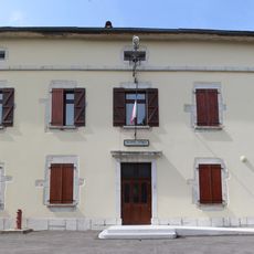
Mairie de Belleydoux
44 m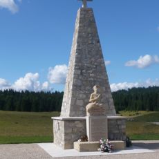
War memorial of Maquis in Échallon
3.1 km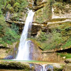
Cascade du Moulin
8.1 km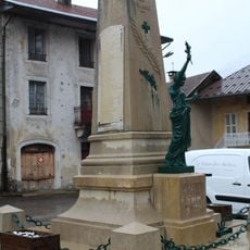
War memorial of Chézery-Forens
7.7 km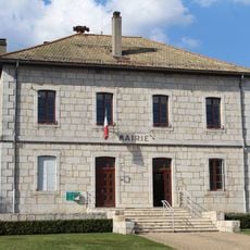
Mairie d'Échallon
5.6 km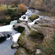
Vallée de la Semine
7.9 km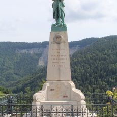
War memorial of Belleydoux
44 m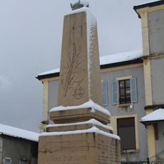
War memorial of Champfromier
7.2 km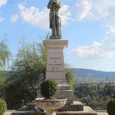
War memorial of Plagne
7.8 km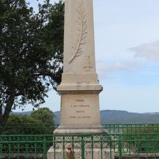
War memorial of Giron
3.1 km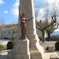
War memorial of Échallon
5.5 km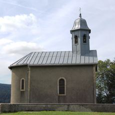
Chapelle Sainte-Anne de Belleydoux
1 km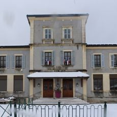
Town hall of Champfromier
7.2 km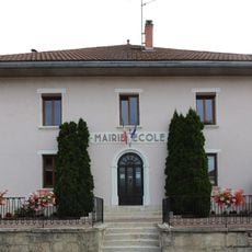
Town hall of Giron
3.1 kmVisited this place? Tap the stars to rate it and share your experience / photos with the community! Try now! You can cancel it anytime.
Discover hidden gems everywhere you go!
From secret cafés to breathtaking viewpoints, skip the crowded tourist spots and find places that match your style. Our app makes it easy with voice search, smart filtering, route optimization, and insider tips from travelers worldwide. Download now for the complete mobile experience.

A unique approach to discovering new places❞
— Le Figaro
All the places worth exploring❞
— France Info
A tailor-made excursion in just a few clicks❞
— 20 Minutes