Enable Location

We need your location to show you interesting places around you

Discover nearby places

Find interesting locations and hidden gems around you

Precise directions

Get accurate directions and distances to places

Your location is never shared with other users. It's only used when you tap the location button.

Montmédy

Log in to your account

Start exploring — it's free

Trusted by 63,905 travelers worldwide

Continue with Google
Continue with Apple
or

We will send you a code to connect

By continuing, you accept our Terms and Conditions and our Privacy Policy

Check your inbox

We've sent a pincode in your inbox. Please enter the code below.

Discussion Reviews 1 Photos
20.6k Popularity

Montmédy, commune in Meuse, France

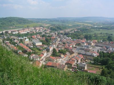
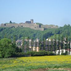
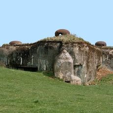
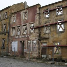
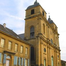
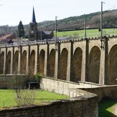
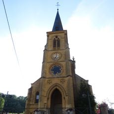
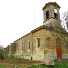
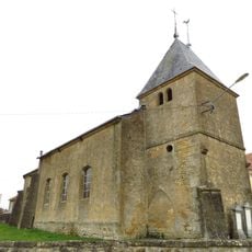
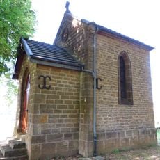
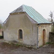
Montmédy is a small town in the Meuse region near Verdun with historic fortifications and well-preserved walls spanning several centuries. The settlement is defined by fortress ruins with bastions and rampart pathways that show how important this location was for military defense.

Montmédy was founded in the 1200s when Arnold III built his first castle, later receiving an impressive fortress around 1545 under orders from Charles V. The renowned engineer Vauban reinforced the fortifications in the 1600s, making it a key position in France's northern defense line.

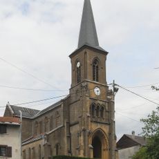
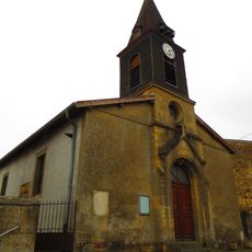
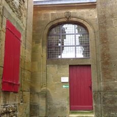
Montmédy takes its name from Arnold III, a nobleman who built the first castle here in the 1200s. Residents use the historic spaces and ramparts today for local events like concerts and exhibitions, turning the old fortress into a living center of community life.

You can reach Montmédy easily by car or local bus with parking available near the center. The quiet streets make for relaxed walks through town, and visitors can explore the rampart pathways or visit the small museum.

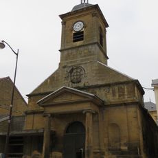
King Louis XVI attempted to escape from Paris in 1791 during the French Revolution and tried to hide in Montmédy, but was captured nearby. A plaque in town commemorates this dramatic event from French history.

The community of curious travelers

AroundUs brings together thousands of curated places, local tips, and hidden gems, enriched daily by 60,000 contributors worldwide.

Start exploring
Location
Elevation above the sea
244 m
Shares border with
Avioth, Bazeilles-sur-Othain, Han-lès-Juvigny, Iré-le-Sec, Juvigny-sur-Loison, Thonne-la-Long, Thonne-les-Près, Thonnelle, Verneuil-Grand, Verneuil-Petit, Vigneul-sous-Montmédy, Villécloye
Phone
GPS coordinates
49.51944,5.36583
Latest update
February 7, 2026 09:31
Reviews
Share your experience

No review yet

Discussions
Start a discussion...

No discussion yet

« Montmédy - commune in Meuse, France » is provided by Around Us (aroundus.com). Images and texts are derived from Wikimedia project under a Creative Commons license. You are allowed to copy, distribute, and modify copies of this page, under the conditions set by the license, as long as this note is clearly visible.

Discover hidden gems everywhere you go!

From secret cafés to breathtaking viewpoints, skip the crowded tourist spots and find places that match your style. Our app makes it easy with voice search, smart filtering, route optimization, and insider tips from travelers worldwide. Download now for the complete mobile experience.

Around Us App Screenshot

A unique approach to discovering new places

Le Figaro

All the places worth exploring

France Info

A tailor-made excursion in just a few clicks

20 Minutes

Around Us
Travel Guide & Maps
Download

Send to your phone

QR Code
1

Open the camera app on your mobile.

2

Point at the QR code with your camera. A notification will appear.

3

Tap the notification to open the link.