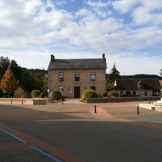
Radon, former commune in Orne, France
Location: canton of Alençon-3
Location: Orne
Location: arrondissement of Alençon
Elevation above the sea: 215 m
Website: http://www.commune-de-radon.fr
Shares border with: Le Bouillon, Valframbert, L'Orée-d'Écouves
Website: http://commune-de-radon.fr
GPS coordinates: 48.50306,0.10167
Latest update: May 28, 2025 04:58
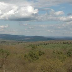
Signal d'Écouves
7.2 km
Parc Animalier d'Écouves
7.5 km
Ancien Hôtel de Guise
7.9 km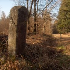
Markers in Écouves Forest
6.5 km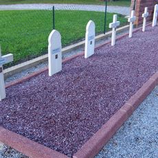
Les Gateys National Cemetery
2.8 km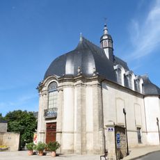
Bibliothèque municipale d'Alençon
8 km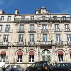
Hôtel du Grand-Cerf
8 km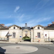
Hôpital psychiatrique d'Alençon
8 km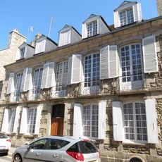
8-12 rue des Marcheries
7.9 km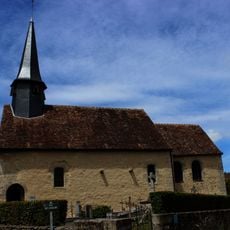
Église Saint-Germain de Cerisé
7 km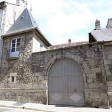
Immeuble, 40 rue du Jeudi
8 km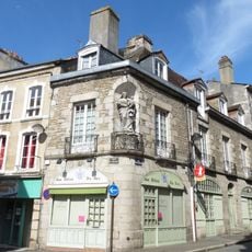
Immeuble, 55 rue du Collège, 13 rue Marcel-Palmier
8 km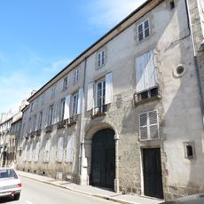
Immeuble, 42, 44 rue du Jeudi
8 km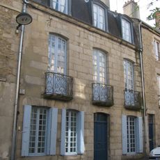
33 rue des Grandes-Poteries
8 km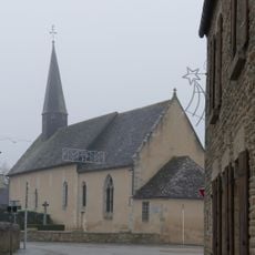
Église Saint-Rigomer de Colombiers
5.2 km
AC LOISIRS
5.3 km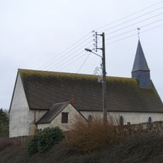
Église Saint-Pierre de Larré
4.6 km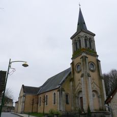
Église Saint-Sulpice de Valframbert
4.3 km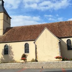
Église de Saint-Martin
39 m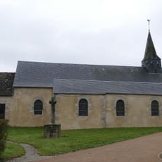
Église Saint-Gervais-et-Saint-Protais de Saint-Gervais-du-Perron
4.9 km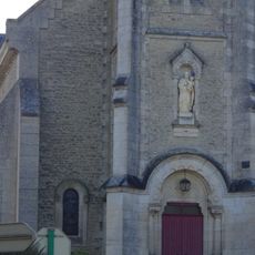
Église Saint-Germain de Damigny
6.2 km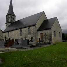
Église Saint-Nicolas de Saint-Nicolas-des-Bois
6.3 km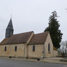
Église Saint-Hilaire de Semallé
4.7 km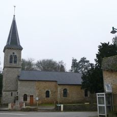
Église Saint-Sulpice de Cuissai
7.3 km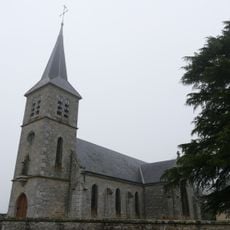
Église Saint-Cyr de Lonrai
6.6 km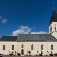
Église Saint-Martin de Ménil-Erreux
6.3 km
Golf de l’Hippodrome d’Alençon
7 km
Église Saint-André de Livaie
9.9 kmReviews
Visited this place? Tap the stars to rate it and share your experience / photos with the community! Try now! You can cancel it anytime.
Discover hidden gems everywhere you go!
From secret cafés to breathtaking viewpoints, skip the crowded tourist spots and find places that match your style. Our app makes it easy with voice search, smart filtering, route optimization, and insider tips from travelers worldwide. Download now for the complete mobile experience.

A unique approach to discovering new places❞
— Le Figaro
All the places worth exploring❞
— France Info
A tailor-made excursion in just a few clicks❞
— 20 Minutes
