Huelgoat, Communal administrative center in Finistère, France
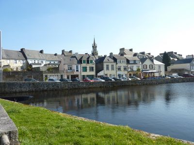
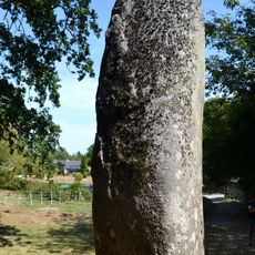
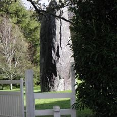
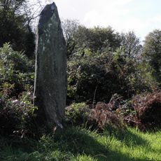
Huelgoat is a commune located in the heart of Brittany with extensive forests and numerous granite rock formations scattered throughout the landscape. The area features dense woodlands alongside striking stone outcrops that shape the character of the terrain.
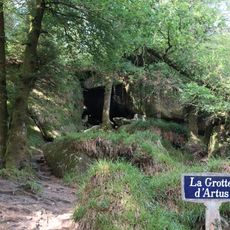
The area served as a refuge for the Osismii Gauls during the Roman invasion in ancient times. Archaeological remains discovered at the excavation site of Arthur's Camp document the early settlement of this group.
The name Huelgoat comes from Breton and means High Forest, showing how deeply the surrounding woodlands are tied to local identity. This connection to nature remains visible in how people value and spend time in the forested landscape.
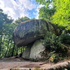
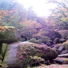
The area has several marked hiking trails that lead through the forest to natural landmarks, including large rock formations and historic mining sites. Wear sturdy shoes as the paths can be uneven and pass through damp wooded terrain.
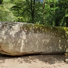
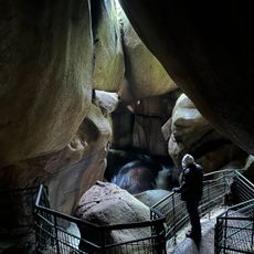
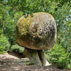
La Roche Tremblante is an enormous balanced boulder that moves when pushed, revealing the exceptional geological formations of the area. This stone attracts visitors who want to experience the movement of the rock themselves.
The community of curious travelers
AroundUs brings together thousands of curated places, local tips, and hidden gems, enriched daily by 60,000 contributors worldwide.