Enable Location

We need your location to show you interesting places around you

Discover nearby places

Find interesting locations and hidden gems around you

Precise directions

Get accurate directions and distances to places

Your location is never shared with other users. It's only used when you tap the location button.

Louhans

Log in to your account

Start exploring — it's free

Trusted by 61,557 travelers worldwide

Continue with Google
Continue with Apple
or

We will send you a code to connect

By continuing, you accept our Terms and Conditions and our Privacy Policy

Check your inbox

We've sent a pincode in your inbox. Please enter the code below.

Louhans, Administrative center in Bresse bourguignonne, eastern France.

Description

Louhans is a commune located on the Bresse plain in eastern France, spreading across varying elevations between 176 and 205 meters above sea level. The town provides educational facilities from elementary through higher education levels and offers sports facilities for football and tennis.

History

The commune took its modern form through an administrative merger in 1973 that brought together several neighboring settlements into one entity. Some of the merged territories later regained independence, but the main settlement continued to serve as an administrative center for the region.

Culture

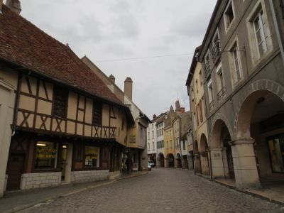
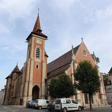
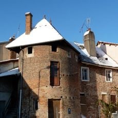
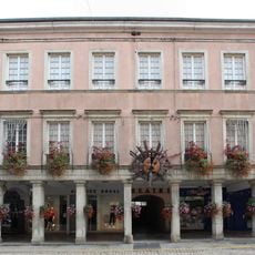
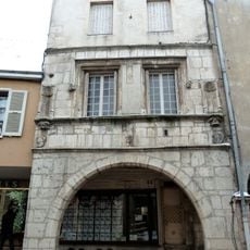
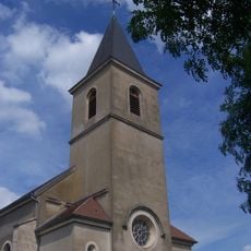
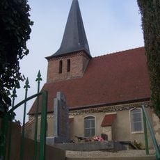
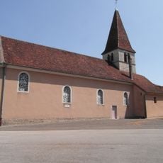
The old town features arcaded streets where shops and cafes shelter under covered passageways, a typical pattern in Burgundy's market towns. The church's glazed Burgundy tiles on the roof remain visible from many angles and speak to how local construction methods shaped the regional identity.

Practical

The town is well organized for visitors, with schools and recreational facilities spread across the area showing how the settlement is laid out. The varying elevations allow for walks through different landscapes, and finding your way through the main parts remains straightforward.

Did you know?

The population has roughly doubled since the end of the 1700s, marking a steady growth pattern for this Burgundian settlement over two centuries. This consistent expansion illustrates how the location maintained its role as a regional hub despite the many changes France experienced.

Location
Inception
January 1, 1973
Elevation above the sea
189 m
Shares border with
Saint-Usuge, Branges, Bruailles, La Chapelle-Naude, Montagny-près-Louhans, Ratte, Saint-Martin-du-Mont, Sornay, Vincelles
Address
71500 Louhans, France
Phone
GPS coordinates
46.62639,5.22472
Latest update
December 19, 2025 23:00

AroundUs brings together thousands of curated places, local tips, and hidden gems, enriched daily by 60,000 contributors worldwide. Discover all places nearby (Saône-et-Loire).

« Louhans - Administrative center in Bresse bourguignonne, eastern France » is provided by Around Us (aroundus.com). Images and texts are derived from Wikimedia project under a Creative Commons license. You are allowed to copy, distribute, and modify copies of this page, under the conditions set by the license, as long as this note is clearly visible.

Discover hidden gems everywhere you go!

From secret cafés to breathtaking viewpoints, skip the crowded tourist spots and find places that match your style. Our app makes it easy with voice search, smart filtering, route optimization, and insider tips from travelers worldwide. Download now for the complete mobile experience.

Around Us App Screenshot

A unique approach to discovering new places

Le Figaro

All the places worth exploring

France Info

A tailor-made excursion in just a few clicks

20 Minutes

Around Us
Travel Guide & Maps
Download

Send to your phone

QR Code
1

Open the camera app on your mobile.

2

Point at the QR code with your camera. A notification will appear.

3

Tap the notification to open the link.