
Sarrant, commune in Gers, France
Location: canton of Mauvezin
Location: Gers
Location: arrondissement of Condom
Elevation above the sea: 154 m
Shares border with: Maubec, Brignemont, Labrihe, Sainte-Anne, Saint-Georges, Solomiac
Phone: +33562650034
Email: mairie.sarrant@wanadoo.fr
Website: http://sarrant.com
GPS coordinates: 43.77444,0.92917
Latest update: May 31, 2025 02:25
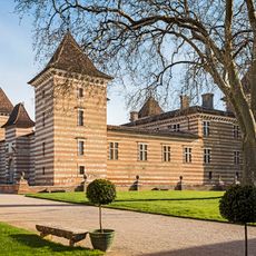
Château de Laréole
8.7 km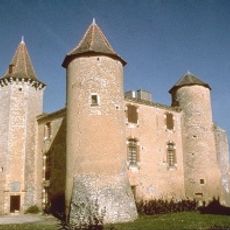
Château du Bartas
5.6 km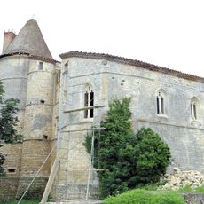
Château de Bouvées
4.2 km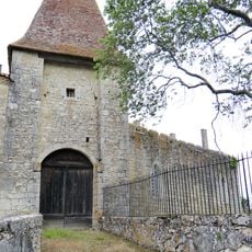
Château d'Avensac
6.7 km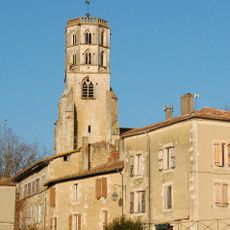
Église Saint-Michel de Mauvezin
6.5 km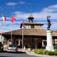
Halle de Cologne
7 km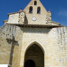
Église Saint-Orens de Maubec
4 km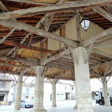
Halle de Solomiac
4.3 km
Église Saint-Clément de Monfort
8.9 km
Église Saint-Loup d'Ardizas
8.7 km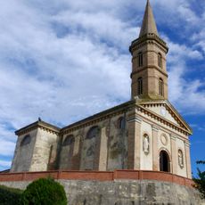
Église Saint-Michel de Brignemont
4.7 km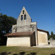
Église Saint-Pierre de Labrihe
4.4 km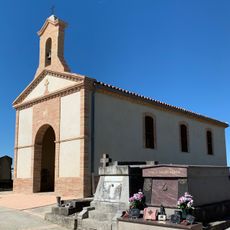
Chapelle Saint-Hilaire de Cadours
10.5 km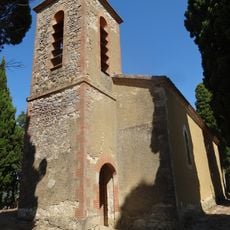
Église Notre-Dame-de-l'Assomption de Grazan
6.6 km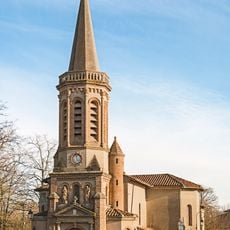
Église Notre-Dame de Laréole
8.6 km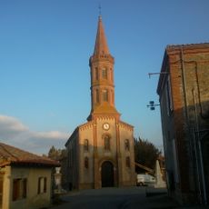
Église Notre-Dame de Cabanac-Séguenville
8.8 km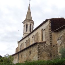
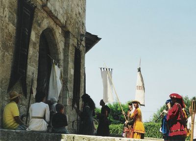
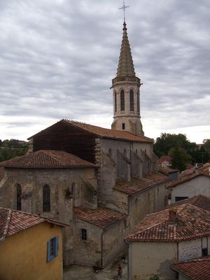
Église Saint-Vincent de Sarrant
64 m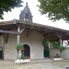
Chapelle Notre-Dame-de-Pitié de Sarrant
61 m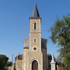
Église Sainte-Radegonde de Bouvées
3.8 km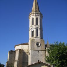
Église Saint Blaise de Fezensaguet-Lomagne, Solomiac
4.2 km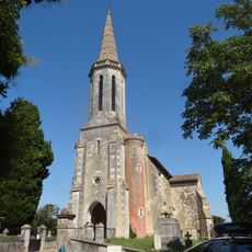
Église Saint-Augustin de Sérempuy
8.5 km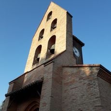
Église Saint-Symphorien du Causé
4.5 km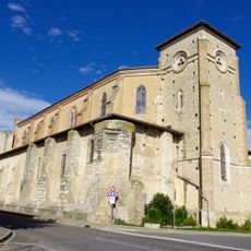
Église Notre-Dame de l'Assomption, Cologne
7.2 km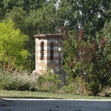
Chapelle d'En Galin
5.4 km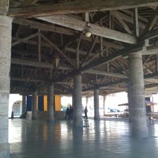
Halle de Mauvezin, Gers
6.4 km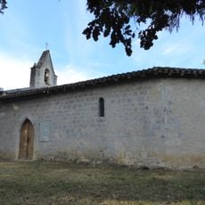
Chapelle de Sainte Blaise, Monfort
7.7 km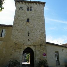
Porte de la ville
27 m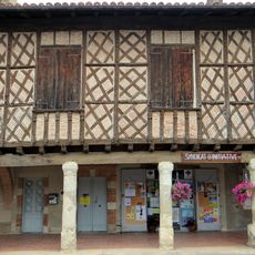
Syndicat d'initiative de Cologne
7 kmVisited this place? Tap the stars to rate it and share your experience / photos with the community! Try now! You can cancel it anytime.
Discover hidden gems everywhere you go!
From secret cafés to breathtaking viewpoints, skip the crowded tourist spots and find places that match your style. Our app makes it easy with voice search, smart filtering, route optimization, and insider tips from travelers worldwide. Download now for the complete mobile experience.

A unique approach to discovering new places❞
— Le Figaro
All the places worth exploring❞
— France Info
A tailor-made excursion in just a few clicks❞
— 20 Minutes