
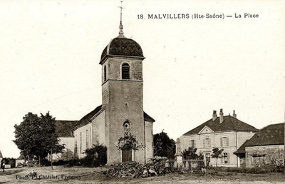
Malvillers, commune in Haute-Saône, France
Location: canton of Vitrey-sur-Mance
Location: Haute-Saône
Location: arrondissement of Vesoul
Industry: administration publique générale
Shares border with: Preigney, Cintrey, Lavigney, Melin, Molay, La Roche-Morey
Phone: +33384910313
Email: mairie.malvillers@orange.fr
GPS coordinates: 47.73139,5.78694
Latest update: March 13, 2025 08:53
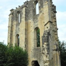
Abbaye de Cherlieu
6.3 km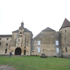
Château de Bougey
7.7 km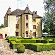
Château d'Ouge
9.5 km
Château de La Rochelle
4.4 km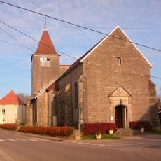
Église d'Ouge
9.5 km
Prieuré de La Roche-Morey
4.2 km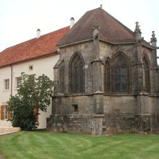
Château-Dessous
7.4 km
Château-Dessus
7.4 km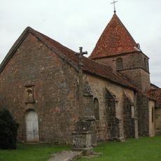
Église de la Nativité-de-Notre-Dame de Chauvirey-le-Châtel
7.2 km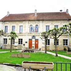
Mairie de Combeaufontaine
8.1 km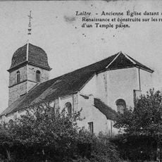
Église Saint-Pierre-et-Saint-Paul de Laitre
3 km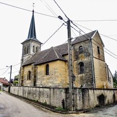
Église Saint-Martin d'Oigney
6.1 km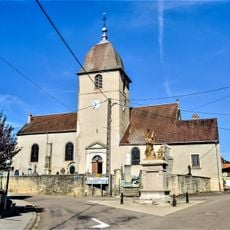
Église Saint-Sulpice de Vauconcourt
8.3 km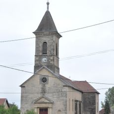
Église de Bougey
7.9 km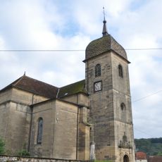
Église de Montigny-lès-Cherlieu
7.6 km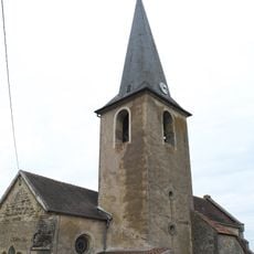
Église Saint-Martin
6.7 km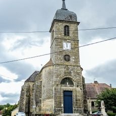
Église Saint-Fortunat de Preigney
3.5 km
Église de la Nativité-de-Notre-Dame de Gourgeon
4.6 km
Église Saint-Martin d'Augicourt
9.5 km
Église Saint-Mathieu
8.7 km
Église de l'Assomption
8.1 km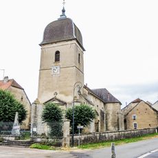
Église Saint-Valère de Semmadon
6.3 km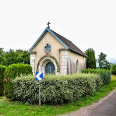
Chapelle Saint-Valère de Semmadon
6.4 km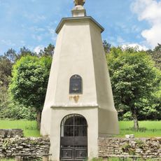
Chapelle Notre-Dame-du-Perpétuel-Secours de La Roche-Morey
4.7 km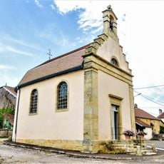
Chapelle Saint-Pierre de La Rochelle
4.5 km
Chapelle de Château-Dessous
7.3 km
Abbatiale de Cherlieu
7.6 km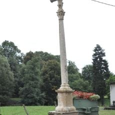
Croix de Bougey
7.7 kmVisited this place? Tap the stars to rate it and share your experience / photos with the community! Try now! You can cancel it anytime.
Discover hidden gems everywhere you go!
From secret cafés to breathtaking viewpoints, skip the crowded tourist spots and find places that match your style. Our app makes it easy with voice search, smart filtering, route optimization, and insider tips from travelers worldwide. Download now for the complete mobile experience.

A unique approach to discovering new places❞
— Le Figaro
All the places worth exploring❞
— France Info
A tailor-made excursion in just a few clicks❞
— 20 Minutes