
Mézériat, commune in Ain, France
Location: Ain
Location: communauté de communes de la Veyle
Location: arrondissement of Bourg-en-Bresse
Elevation above the sea: 204 m
Shares border with: Chaveyriat, Confrançon, Perrex, Polliat, Saint-Genis-sur-Menthon, Vandeins, Vonnas
Phone: +33474302526
Email: accueil.mezeriat@wanadoo.fr
Website: http://mezeriat.fr
GPS coordinates: 46.23472,5.04722
Latest update: May 30, 2025 11:33

Château de Loriol
4.9 km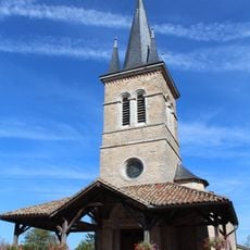
Église Saints-Pierre-et-Clair de Vandeins
3.1 km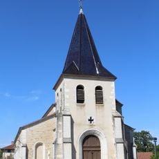
Église Saint-Pierre de Confrançon
3.9 km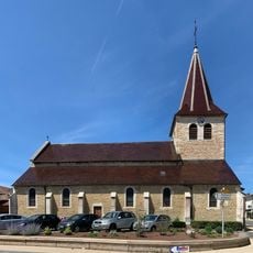
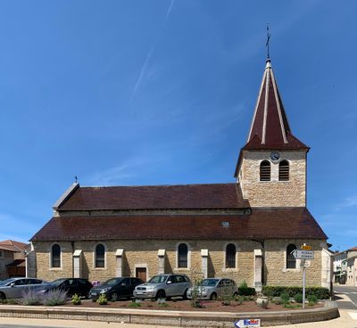
Église Saint-Christophe-et-Saint-André de Mézériat
117 m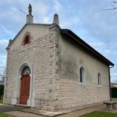
Chapelle Notre-Dame de Montfalcon
1.8 km
Mairie de Confrançon
3.6 km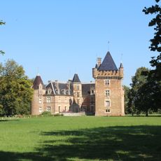
Parc du Château de Loriol
4.9 km
Clos du Sorbier
1.1 km
Mairie de Vandeins
3.3 km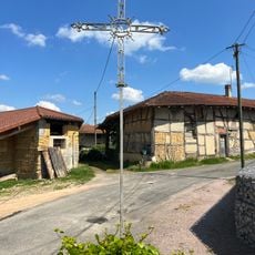
Croix des Curtallins
1.3 km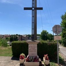
Croix 1843 de la route de l'Effondras
74 m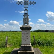
Croix de Montfalcon
1.9 km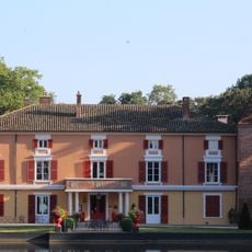
Château d'Épeyssoles
3.3 km
Clos du Noyer
1.7 km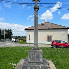
Croix de Vaudrenant
1.7 km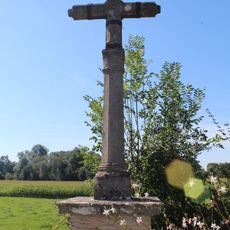
Croix de Pierre
3.9 km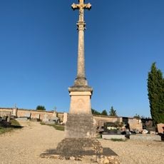
Cemetery cross of Confrançon
4.1 km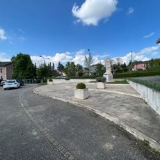
Esplanade des Anciens-Combattants
11 m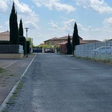
Clos de la Tuilerie
1.4 km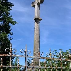
Croix des Badelles
198 m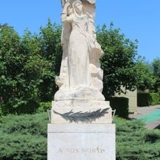
War memorial of Mézériat
13 m
Clos des Chênes
401 m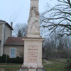
War memorial of Confrançon
3.6 km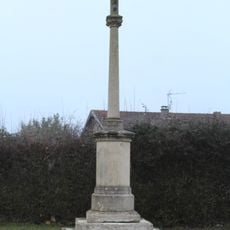
Croix de la route de la Chevinière
5.1 km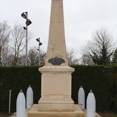
War memorial of Vandeins
3.2 km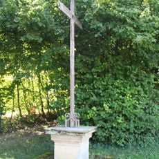
Croix de Malet
3.4 km
Mairie de Mézériat
38 m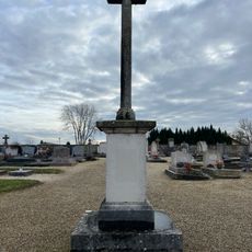
Croix de cimetière de Vandeins
3.1 kmReviews
Visited this place? Tap the stars to rate it and share your experience / photos with the community! Try now! You can cancel it anytime.
Discover hidden gems everywhere you go!
From secret cafés to breathtaking viewpoints, skip the crowded tourist spots and find places that match your style. Our app makes it easy with voice search, smart filtering, route optimization, and insider tips from travelers worldwide. Download now for the complete mobile experience.

A unique approach to discovering new places❞
— Le Figaro
All the places worth exploring❞
— France Info
A tailor-made excursion in just a few clicks❞
— 20 Minutes