
Saint-Ferjeux, commune in Haute-Saône, France
Location: Haute-Saône
Location: arrondissement of Lure
Industry: administration publique générale
Shares border with: Senargent-Mignafans, Beveuge, Georfans, Vellechevreux-et-Courbenans, Villargent
Phone: +33384899061
Email: communesaintferjeux@orange.fr
GPS coordinates: 47.54361,6.51000
Latest update: April 20, 2025 21:29
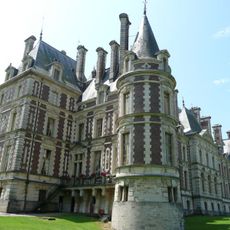
Château de Villersexel
6.1 km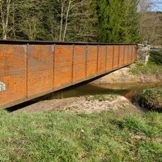
Rognon
3.1 km
Hôpital de Grammont
5.6 km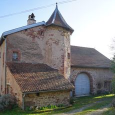
Maison Gaudy
6.1 km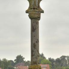
Croix Saint-Pierre
5.5 km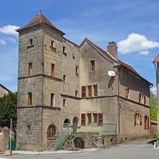
Maison du bailli (Granges-le-Bourg)
6.1 km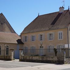
Presbytère de Villersexel
5.9 km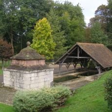
Fontaine-lavoir de Fallon
4.5 km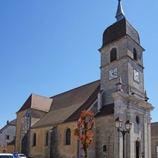
Église de Villersexel
5.9 km
Église de Villafans
5 km
Église Saint-Servais d'Athesans-Étroitefontaine
5.8 km
Église Saint-Étienne de Mélecey
3.2 km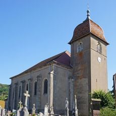
Église de Courchaton
3.8 km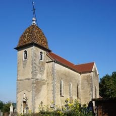
Église Saint-Martin de Grammont
3.5 km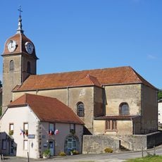
Église Saint-Germain de Vellechevreux-et-Courbenans
2.2 km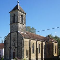
Église Saint-Ferjeux de Beveuge
2.6 km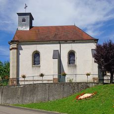
Église de la Nativité du Grand Magny
4.7 km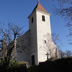
Église Saint-Nicolas d'Accolans
5.7 km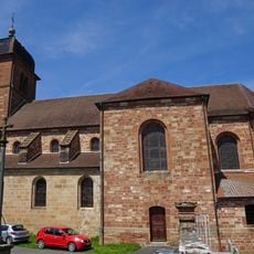
Église de Granges-la-Ville
5.3 km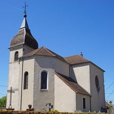
Église de Saint-Sulpice
5.3 km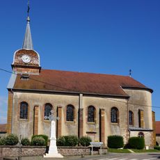
Église Saint-Nicolas de Senargent-Mignafans
2.8 km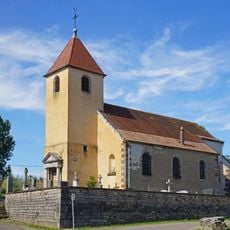
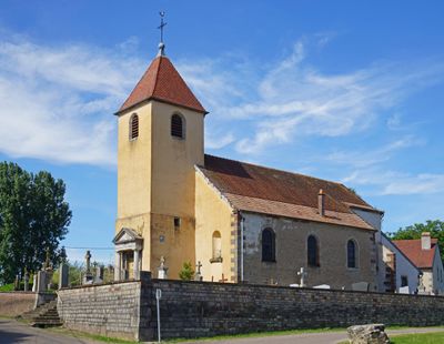
Église Saint-Ferréol-et-Saint-Ferjeux de Saint-Ferjeux
138 m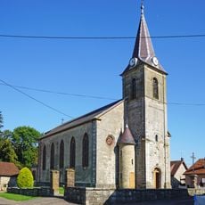
Église de Fallon
4.5 km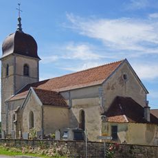
Église de Villers-la-Ville
3.6 km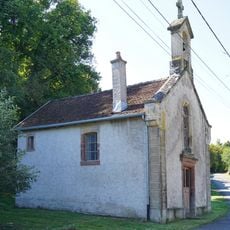
Chapelle de la Vierge de Mignafans
3.1 km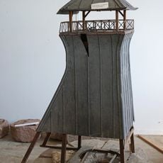
Puits n° 15 de Gouhenans
5.6 km
Puits n° 4 et 8 de Gouhenans
6.2 km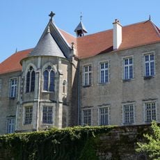
Chapelle Notre-Dame-de-Compassion de l'Ermitage
5.6 kmVisited this place? Tap the stars to rate it and share your experience / photos with the community! Try now! You can cancel it anytime.
Discover hidden gems everywhere you go!
From secret cafés to breathtaking viewpoints, skip the crowded tourist spots and find places that match your style. Our app makes it easy with voice search, smart filtering, route optimization, and insider tips from travelers worldwide. Download now for the complete mobile experience.

A unique approach to discovering new places❞
— Le Figaro
All the places worth exploring❞
— France Info
A tailor-made excursion in just a few clicks❞
— 20 Minutes