
Montfroc, commune in Drôme, France
Location: canton of Séderon
Location: Drôme
Location: arrondissement of Nyons
Elevation above the sea: 1,014 m
Shares border with: Châteauneuf-Miravail, Curel, Les Omergues, Redortiers, La Rochegiron, Eygalayes, Lachau
Phone: +33492620395
Email: mairiemontfroc@orange.fr
GPS coordinates: 44.17472,5.63889
Latest update: May 31, 2025 10:22
Chastelard de Lardiers
12.4 km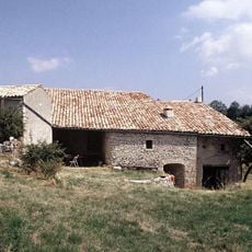
Ferme des Graves
9.3 km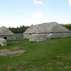
Jas des Terres de Roux
4.7 km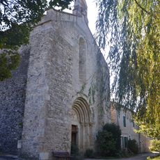
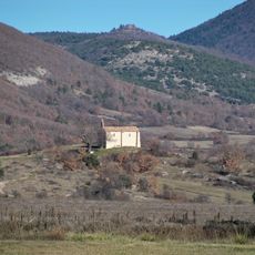
Église Notre-Dame de Calma
5.5 km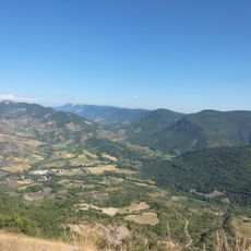
Cosmodrôme
10.7 km
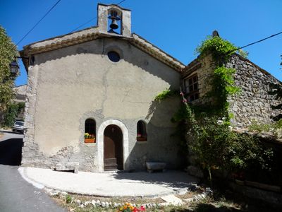
Église Saint-Clair de Montfroc
29 m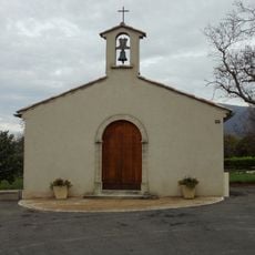
Église Saint-Pierre-ès-Liens des Omergues
2.5 km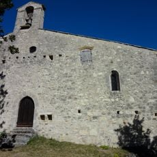
Église Saint-Mary des Curniers
7.1 km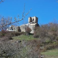
Église Saint-Jean de Vière
9.4 km
Église Saint-Pierre-ès-Liens de Saumane
10.3 km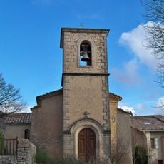
Église Saint-Jean-Baptiste de L'Hospitalet
10.8 km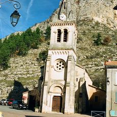
Église Sainte-Baudile de Séderon
8.8 km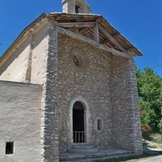
Église Saint Jean-Baptiste
7.8 km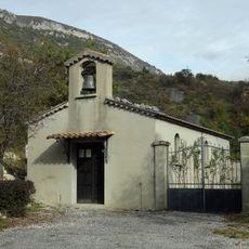
Église Saint-Martin de Curel
2.8 km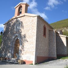
Église Sainte-Catherine de Ballons
9 km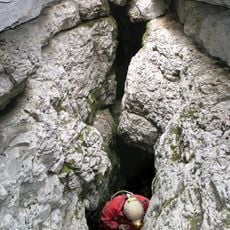
Gouffre du Pé de Muéou
4.7 km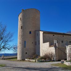
Château de la Gabelle
13.2 km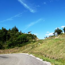
Col Saint-Jean
9.8 km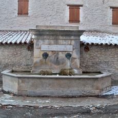
Fontaine Lavoir à Revest-du-Bion
12.5 km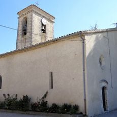
Église de Revest du Bion
12.5 km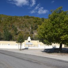
Nécropole nationale d'Eygalayes
8.3 km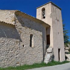
Église du Saint-Nom-de-Jésus du Jonquet
10.3 km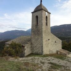
Église Saint-Vincent de Saint-Vincent-sur-Jabron
8.5 km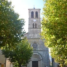
Église de Lachau
6.3 km
Aven de la Moutte
12 km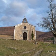
Saint Michel chapel in Saumane
12.1 km
Chapelle Notre-Dame-des-Anges de Lange
4.9 km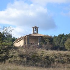
Chapelle St Damien & Saint Côme
10.1 kmVisited this place? Tap the stars to rate it and share your experience / photos with the community! Try now! You can cancel it anytime.
Discover hidden gems everywhere you go!
From secret cafés to breathtaking viewpoints, skip the crowded tourist spots and find places that match your style. Our app makes it easy with voice search, smart filtering, route optimization, and insider tips from travelers worldwide. Download now for the complete mobile experience.

A unique approach to discovering new places❞
— Le Figaro
All the places worth exploring❞
— France Info
A tailor-made excursion in just a few clicks❞
— 20 Minutes