Enable Location

We need your location to show you interesting places around you

Discover nearby places

Find interesting locations and hidden gems around you

Precise directions

Get accurate directions and distances to places

Your location is never shared with other users. It's only used when you tap the location button.

Pic de Madrès

Log in to your account

Start exploring — it's free

Trusted by 66,523 travelers worldwide

Continue with Google
Continue with Apple
or

We will send you a code to connect

By continuing, you accept our Terms and Conditions and our Privacy Policy

Check your inbox

We've sent a pincode in your inbox. Please enter the code below.

Pic de Madrès
Discussion Reviews 1 Photos
3.5k Popularity

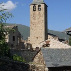
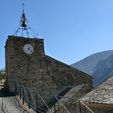
Pic de Madrès, Mountain summit in Censà, France

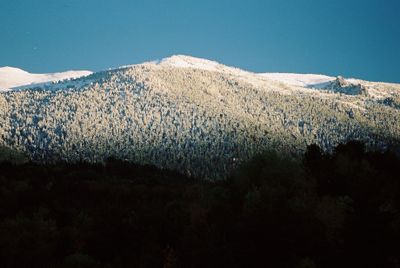
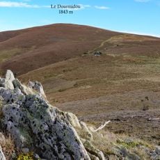
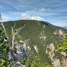
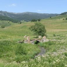
Pic de Madrès is a mountain summit in the Pyrenees, rising above the villages of Censà, Mosset, and Le Bousquet to an elevation of 2,469 meters (8,100 feet). Its slopes are rocky and steep, and the top sits well above the tree line, leaving the summit area fully open to the sky.

The peak was formed when tectonic plates collided and pushed the Pyrenees upward millions of years ago. Glaciers during the ice ages then carved into the slopes and left behind the rocky shapes that are visible on the mountain today.

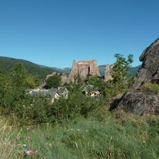
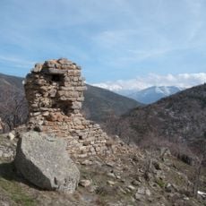
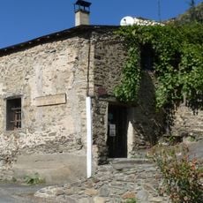
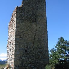
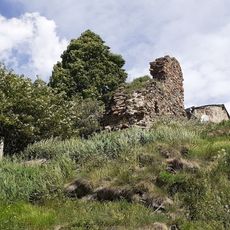
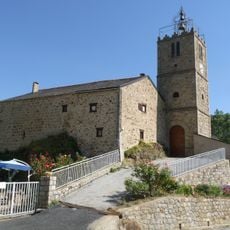
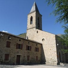
The slopes have been used as summer pasture for centuries, and the old herding paths are still visible across the terrain today. Walkers who follow these routes are crossing the same ground that local shepherds have used for generations.

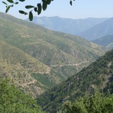
Several trails lead to the summit from different starting points, and the walking time varies depending on which route you choose. The safest window for a visit is from late spring to early fall, after the snow has cleared and before winter conditions return.

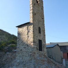
On a clear day, the summit offers a view that reaches both the Mediterranean Sea and the central Pyrenees at the same time, which is rare for a single vantage point in this part of the range. There is also a relay antenna near the top that serves as a landmark during the final stretch of the climb.

The community of curious travelers

AroundUs brings together thousands of curated places, local tips, and hidden gems, enriched daily by 60,000 contributors worldwide.

Start exploring
Location
Location
Location
Elevation above the sea
2,469 m
Part of
liste des 100 sommets de la FEEC
GPS coordinates
42.65182,2.19241
Latest update
March 3, 2026 14:01
Reviews
Share your experience

No review yet

Discussions
Start a discussion...

No discussion yet

« Pic de Madrès - Mountain summit in Censà, France » is provided by Around Us (aroundus.com). Images and texts are derived from Wikimedia project under a Creative Commons license. You are allowed to copy, distribute, and modify copies of this page, under the conditions set by the license, as long as this note is clearly visible.

Discover hidden gems everywhere you go!

From secret cafés to breathtaking viewpoints, skip the crowded tourist spots and find places that match your style. Our app makes it easy with voice search, smart filtering, route optimization, and insider tips from travelers worldwide. Download now for the complete mobile experience.

Around Us App Screenshot

A unique approach to discovering new places

Le Figaro

All the places worth exploring

France Info

A tailor-made excursion in just a few clicks

20 Minutes

Around Us
Travel Guide & Maps
Download

Send to your phone

QR Code
1

Open the camera app on your mobile.

2

Point at the QR code with your camera. A notification will appear.

3

Tap the notification to open the link.