
Palluel, commune in Pas-de-Calais, France
Location: Pas-de-Calais
Location: canton of Marquion
Location: arrondissement of Arras
Elevation above the sea: 41 m
Shares border with: Arleux, Écourt-Saint-Quentin, Oisy-le-Verger
Address: Rue d'En-Haut, 62860 Palluel 62860
Phone: +33321483586
Email: mairie.palluel@wanadoo.fr
GPS coordinates: 50.26722,3.09861
Latest update: June 14, 2025 17:51
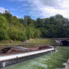
Canal du Nord
1.8 km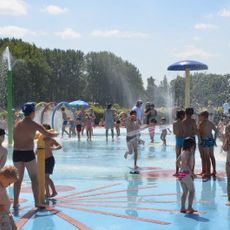
LoisiParc
3.8 km
Dolmen du Bois
3.5 km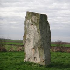
Pierre du Diable
5.2 km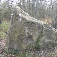
Pierre qui Pousse
3.5 km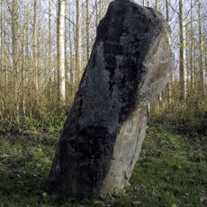
Gros Caillou
1.6 km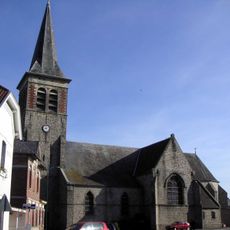
Église Saint-Nicolas d'Arleux
1.6 km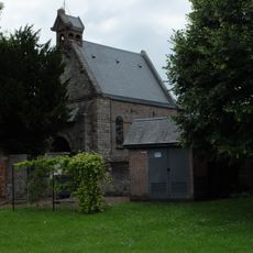
Église Notre-Dame de Récourt
4.8 km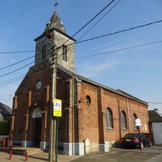
Église Saint-Martin de Tortequesne
4.8 km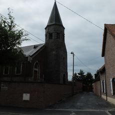
Église Saint-Léger de Saudemont
4.9 km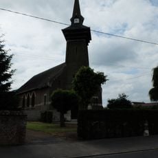
Église Saint-Amand de Rumaucourt
4.3 km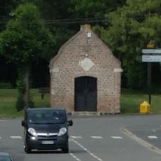
Chapelle de Saudemont
5.2 km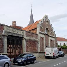
Brasserie-malterie_Campion_d'Arleux
1.6 km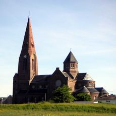
Église Saint-Didier d'Oisy-le-Verger
2.4 km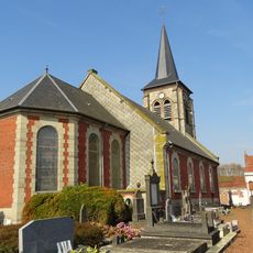
Église Saint-Sarre d'Estrées
4.3 km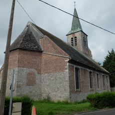
Église Notre-Dame-de-l'Assomption de Brunémont
3 km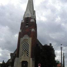
Église Notre-Dame-de-la-Salette de Sauchy-Cauchy
3.4 km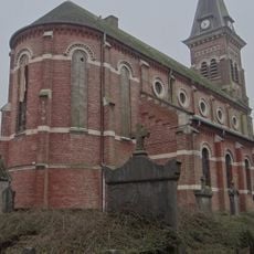
Église Saint-Vaast de Lécluse
4.5 km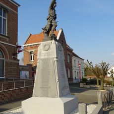
Monument aux morts de Lécluse
4.4 km
Chapelle Notre-Dame-du-Mont-Carmel d'Estrées
4.4 km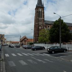
Église Saint-Quentin d'Écourt-Saint-Quentin
2.8 km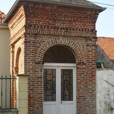
Chapelle Saint-Roch d'Estrées
4.1 km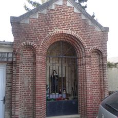
Chapelle Sainte-Rita de Lécluse
4.4 km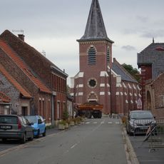
Église Saint-Sarre d'Hamel
2.1 km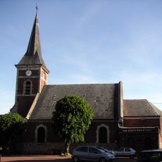
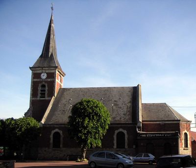
Église Notre-Dame-de-la-Visitation de Palluel
92 m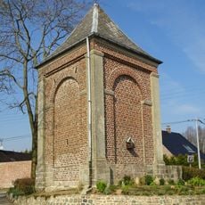
Calvaire d'Estrées
3.9 km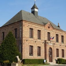
Mairie d'Estrées
4.2 km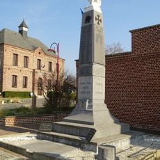
Monument aux morts d'Estrées
4.2 kmVisited this place? Tap the stars to rate it and share your experience / photos with the community! Try now! You can cancel it anytime.
Discover hidden gems everywhere you go!
From secret cafés to breathtaking viewpoints, skip the crowded tourist spots and find places that match your style. Our app makes it easy with voice search, smart filtering, route optimization, and insider tips from travelers worldwide. Download now for the complete mobile experience.

A unique approach to discovering new places❞
— Le Figaro
All the places worth exploring❞
— France Info
A tailor-made excursion in just a few clicks❞
— 20 Minutes