Pas-de-Calais, Department in Hauts-de-France, France.
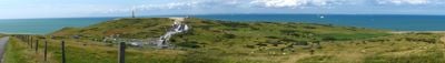
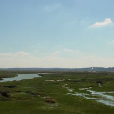
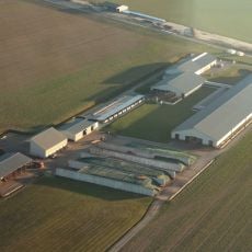
Pas-de-Calais is an administrative region in northern France, part of Hauts-de-France, with a coastline along the English Channel. The landscape alternates between flat coastal plains, gentle hills inland, and wooded valleys running toward the Belgian border.
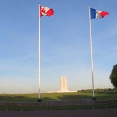
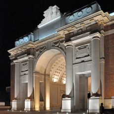
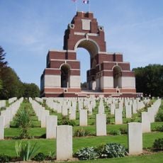
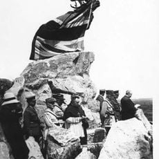
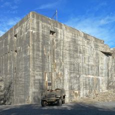
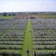
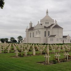
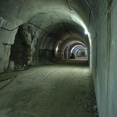
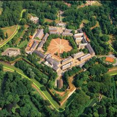
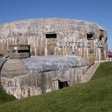
The administrative region formed on March 4, 1790, during the French Revolution, from the historic territories of Artois, Boulonnais, Calaisis, and parts of Ponthieu. During the First World War, the area saw heavy fighting, and traces remain visible today in cemeteries and memorials.
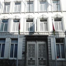
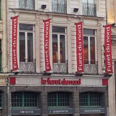
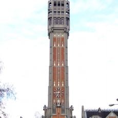
The administrative region takes its name from the narrowest point of the English Channel, where the French coast comes closest to the British island. Visitors notice the influence of proximity to Belgium and England in the architectural style of towns and in the habits of residents, who often speak several languages.
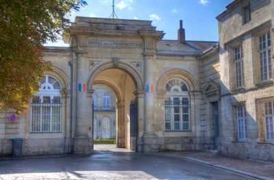
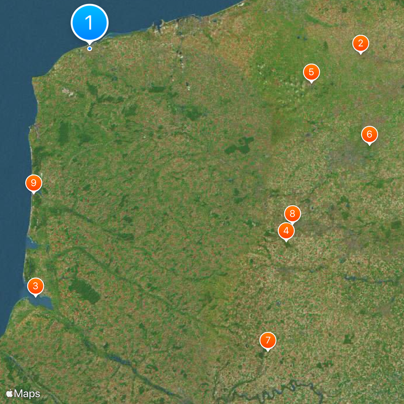
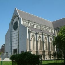
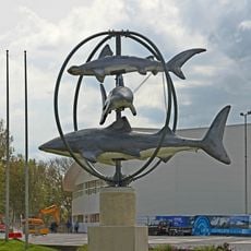
The capital Arras sits centrally and serves as a starting point for traveling to the seven districts, which cover coastal towns, mining areas, and rural villages. Visitors can best explore the area by car, as many smaller towns and memorials lie away from main transport routes.
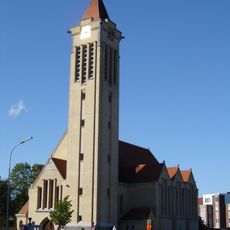
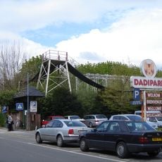
With 890 communes, this administrative region has more municipalities than any other in France. Some of these villages count only a few dozen residents, yet maintain their own traditions and local festivals that visitors can experience throughout the year.
The community of curious travelers
AroundUs brings together thousands of curated places, local tips, and hidden gems, enriched daily by 60,000 contributors worldwide.