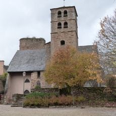
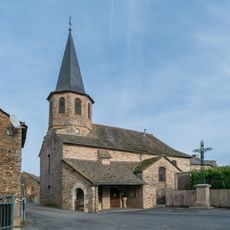
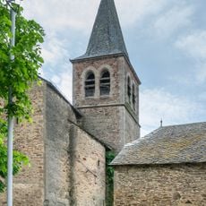
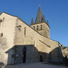
Calmont, Rural commune in Aveyron, France.
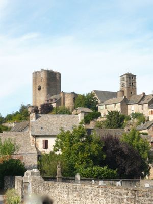
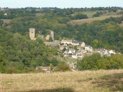
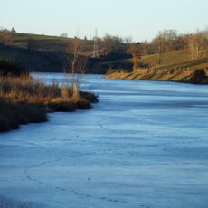
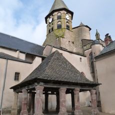
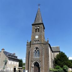
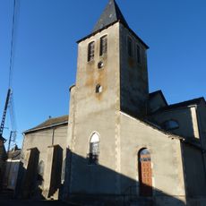
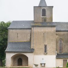
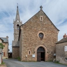
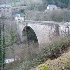
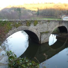
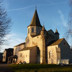
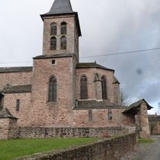
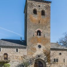
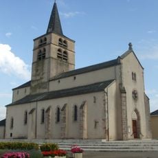
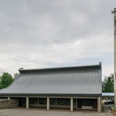
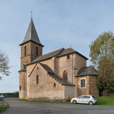
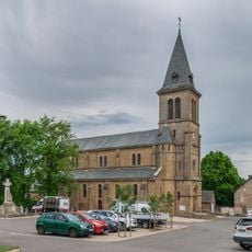
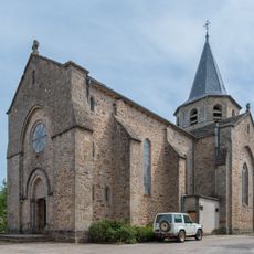
Calmont is a small commune in southern France's Aveyron region, situated on rolling terrain at roughly 680 meters in elevation. The settlement features scattered stone dwellings surrounded by farmland, presenting the typical appearance of a rural French countryside area.
The settlement developed as a typical rural community in a region with a long history of habitation and was later integrated into France's modern administrative system. Its placement within the Villefranche-de-Rouergue district reflects the territorial reorganizations that shaped French local government over the past two centuries.
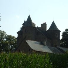
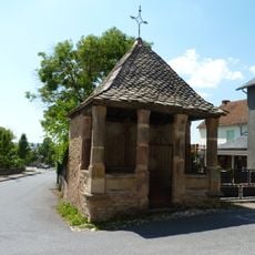
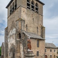
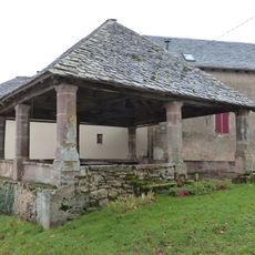
The village keeps its rural character through traditional stone farmhouses and family-run plots that shape the local landscape. How people live and work here reflects long-standing patterns of southern French countryside life.
Visitors will find limited shops and services in this rural area, as it is a small residential place without significant tourist infrastructure. Those exploring the region should focus on walks through open countryside and the traditional villages scattered across the landscape.
The geographical coordinates of Calmont at 44.248611 latitude and 2.5125 longitude position it strategically within the Aveyron department for regional connectivity.
Location: Aveyron
Location: arrondissement of Villefranche-de-Rouergue
Elevation above the sea: 679 m
Shares border with: Baraqueville, Comps-la-Grand-Ville, Flavin, Luc-la-Primaube, Manhac, Sainte-Juliette-sur-Viaur
Address: 12450 Calmont, France
Phone: +33565694722
Email: mairie-calmont@wanadoo.fr
Website: http://mairie-calmont.fr
GPS coordinates: 44.24861,2.51250
Latest update: December 11, 2025 11:06
Bonnecombe abbey
3.4 km
Basilique Notre-Dame de Ceignac
2.8 km
Étang de la Brienne
6.6 km
Château de Planèzes
5.5 km
Oratoire de Ceignac
2.8 km
Église Saint-Pierre de Flavin
8.7 km
Halle de Ceignac
2.8 km
Halle-oratoire de Naves
2.4 km
Croix de chemin (Calmont)
2.8 km
Église Sainte-Julitte de Sainte-Juliette-sur-Viaur
3.9 km
Église de Calmont
152 m
Église de Manhac
3.5 km
Église Sainte-Marie de Vors
6.7 km
Église Saint-Hilaire de Saint-Hilaire
7.1 km
Pont du Diable
3.3 km
Pont de Grand-Fuel
4.5 km
Église Saint-Sauveur de Grandfuel
4.7 km
Église Saint-Pierre de Manhac
2.4 km
Église Saint-Pierre du Piboul
4.1 km
Tour-porche Saint-Bernard de l'abbaye de Bonnecombe
3.4 km
Église Notre-Dame de Baraqueville
7.1 km
Église Saint-Maurice de Luc
7.5 km
Church in La Primaube
6.1 km
Église Sainte-Juliette de Milhac
1.8 km
Church in Flavin
8.7 km
Église Notre-Dame de Comps-la-Grand-Ville
4.8 km
Church in La Capelle Saint-Martin
6 km
Église Saint-Amans de Magrin
2.6 kmVisited this place? Tap the stars to rate it and share your experience / photos with the community! Try now! You can cancel it anytime.
Discover hidden gems everywhere you go!
From secret cafés to breathtaking viewpoints, skip the crowded tourist spots and find places that match your style. Our app makes it easy with voice search, smart filtering, route optimization, and insider tips from travelers worldwide. Download now for the complete mobile experience.
A unique approach to discovering new places❞
— Le Figaro
All the places worth exploring❞
— France Info
A tailor-made excursion in just a few clicks❞
— 20 Minutes