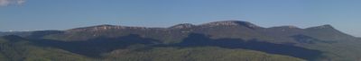
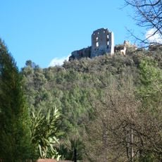
Barre de Cuers, Mountain ridge in Var, France.
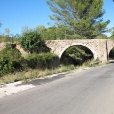
The Barre de Cuers is a limestone ridge in the Var that rises prominently above the surrounding landscape. The formation extends over several kilometers with steep sides and wide open areas covered by low vegetation and grass.
The limestone layers formed during the Cretaceous period when this area lay beneath an ancient sea and accumulated marine sediments. Later, tectonic movements lifted the rock and created the ridge that exists today.
The name comes from the Latin word "cura", referring to the care of sheep that grazed here for centuries. This herding tradition shaped how the land looks today, with open grasslands visible on the hillsides.
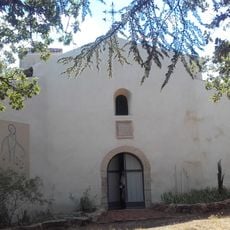
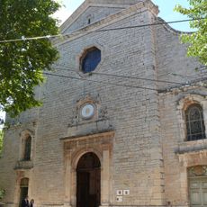
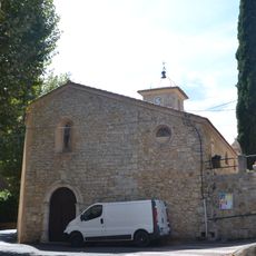
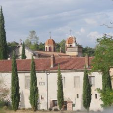
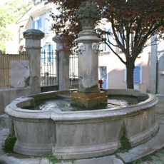
The site is best explored on foot, with most access points starting from small villages like Belgentier in the area. Bring plenty of water and allow several hours to a full day depending on which route you choose.
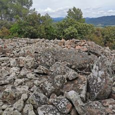
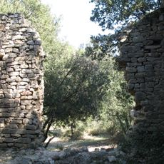
Within the ridge are shallow caves and cavities that bear traces of early human settlement, showing how long people have lived in this region. These cave spaces are accessible to visitors today and reveal evidence of the area's first inhabitants.
Location: Var
Elevation above the sea: 705 m
GPS coordinates: 43.28583,6.05966
Latest update: December 14, 2025 20:29
Abbaye de La Celle
12.2 km
Chartreuse de Montrieux-le-Vieux
8.2 km
Village des tortues
12.3 km
Ermitage Saint-Quinis à Camps-la-Source
11 km
Église Saint-Jean-Baptiste de Solliès-Pont
10.7 km
Montagne de la Loube
10.6 kmÉglise Notre Dame de l'Assomption de Belgentier
6.6 km
Dolmen of Pousselons
11.4 km
Abbaye de la Celle
12.1 km
Solliès-Ville, St Michel-Archange church
11.6 km
Église Notre-Dame-de-l'Assomption de Carnoules
10.4 km
Notre-Dame-de-l'Assomption collegiate church
5.5 km
Église Saint-Eutrope de Méounes-lès-Montrieux
7.3 km
Église Saint-Sauveur de La Roquebrussanne
8.9 km
Église de Sainte-Anastasie-sur-Issole
8.2 km
Ancienne église Saint-Sauveur de Rocbaron
3.5 km
Église de la chartreuse Notre-Dame de Montrieux
8.2 km
Église Notre-Dame de Camps-la-Source
11.5 km
Château de Forcalqueiret
6.7 km
Fontaine de la rue de l'Abreuvoir
11.9 km
Chapelle Sainte-Roseline de la chartreuse Notre-Dame-de-Montrieux de Montrieux-le-Jeune
8.2 km
Chapelle Sainte-Christine de Cuers
7.8 km
Fontaine de Méounes-lès-Montrieux
7.3 km
Aqueduc des cinq ponts de Cuers
5.1 km
Fontaine de la place de la Mairie
11.9 km
Chapelle Saint-Félix
5.4 km
Tour de l'Horloge
9 km
Beffroi
11.9 kmVisited this place? Tap the stars to rate it and share your experience / photos with the community! Try now! You can cancel it anytime.
Discover hidden gems everywhere you go!
From secret cafés to breathtaking viewpoints, skip the crowded tourist spots and find places that match your style. Our app makes it easy with voice search, smart filtering, route optimization, and insider tips from travelers worldwide. Download now for the complete mobile experience.
A unique approach to discovering new places❞
— Le Figaro
All the places worth exploring❞
— France Info
A tailor-made excursion in just a few clicks❞
— 20 Minutes