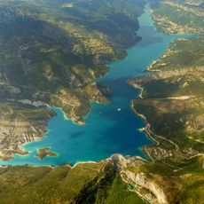
Sommet Bernarde, Alpine summit at 1941 meters in Southern French Alps, France.
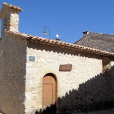
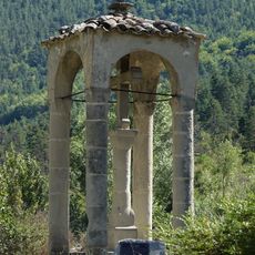
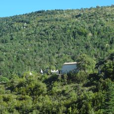
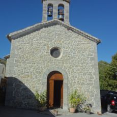
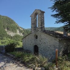
Sommet Bernarde is a summit in the southern French Alps rising to 1941 meters above sea level. The climb passes through thick forest zones before breaking into more open terrain, where expansive panoramas of the Haute-Provence mountain ranges come into view.
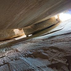
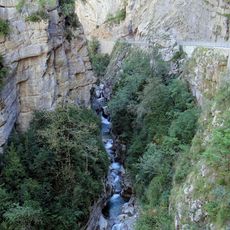
The mountain sits within the Haute Provence Geological Reserve, a protected area established to safeguard the region's distinctive geological formations. This designation reflects efforts to preserve the area's natural heritage for future generations.
Hikers build stone cairns along the trail, creating natural markers that guide those climbing after them and continuing a long-standing tradition. This practice connects visitors to the mountain and to those who came before.
The hike from Col de Toutes Aures is a half-day undertaking suitable for walkers with moderate fitness and requires proper hiking gear. Weather conditions change quickly at this elevation, so bringing layers and rain protection is essential.
The summit has reliable cellular coverage, making it unusual in a region where network connections are often spotty. This feature sometimes allows visitors to send messages or share photos before descending into areas with weaker signals.
Location: Provence-Alpes-Côte d'Azur
Elevation above the sea: 1,941 m
GPS coordinates: 43.89444,6.63472
Latest update: December 15, 2025 13:23
Lac de Castillon
8.2 km
Cemetery of Vergons
3.7 km
Chapelle Notre-Dame-de-Valvert de Vergons
3.7 km
Chapelle Notre-Dame de Vers-la-Ville
8.8 km
Chapelle Saint-Martin de Briançonnet
10.4 km
Croix couverte d'Annot
8 km
Ancienne église de Courchons
10.7 km
Église Notre-Dame-et-Saint-Honorat d'Angles
8.3 km
Église paroissiale de Soleilhas
4.3 km
Église Notre-Dame-des-Ormeaux de La Garde
9.7 km
Chapelle de Vérimande
8.4 km
Église Saint-Martin d'Allons
9.8 km
Église Saint-Jean-Baptiste d'Annot
8.5 km
Chambre du Roi
8.2 km
Église Saint-Julien d'Ubraye
5.2 km
Église Notre-Dame-de-l'Assomption de Briançonnet
10.5 km
Église Saint-Sébastien de Rouainette
4.2 km
Église Notre-Dame-de-l'Annonciation de Montblanc
10.3 km
Église Notre-Dame de l’Assomption de Vergons
4.5 km
Église Saint-Étienne de Saint-Auban
8.9 km
Église Saint-Pierre-ès-Liens de Rouaine
4.8 km
Église Saint-Pons du Touyet
3.4 km
Chapelle Saint-Pons d'Ubraye
5.2 km
Grès d'Annot
8.7 km
Train des Pignes à Vapeur
8.3 km
Clue de Saint-Auban
8.8 km
Chapelle Saint-Sébastien de La Garde
9.7 km
Chapelle Sainte-Anne de La Garde
9.5 kmVisited this place? Tap the stars to rate it and share your experience / photos with the community! Try now! You can cancel it anytime.
Discover hidden gems everywhere you go!
From secret cafés to breathtaking viewpoints, skip the crowded tourist spots and find places that match your style. Our app makes it easy with voice search, smart filtering, route optimization, and insider tips from travelers worldwide. Download now for the complete mobile experience.
A unique approach to discovering new places❞
— Le Figaro
All the places worth exploring❞
— France Info
A tailor-made excursion in just a few clicks❞
— 20 Minutes