Enable Location

We need your location to show you interesting places around you

Discover nearby places

Find interesting locations and hidden gems around you

Precise directions

Get accurate directions and distances to places

Your location is never shared with other users. It's only used when you tap the location button.

Mount Hum

Log in to your account

Start exploring — it's free

Trusted by 62,169 travelers worldwide

Continue with Google
Continue with Apple
or

We will send you a code to connect

By continuing, you accept our Terms and Conditions and our Privacy Policy

Check your inbox

We've sent a pincode in your inbox. Please enter the code below.

Mount Hum

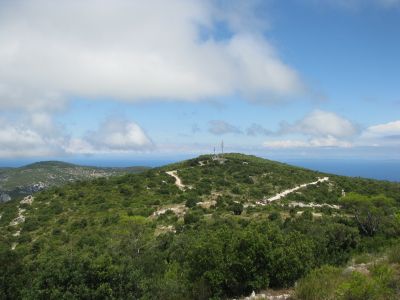
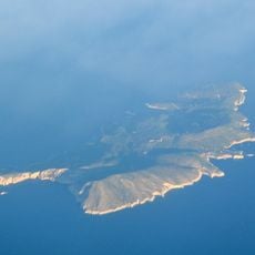
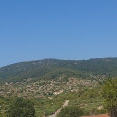
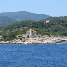
Mount Hum, Summit peak on Vis Island, Croatia.

Mount Hum is the highest point on Vis Island and rises steeply from the surrounding landscape with exposed rocky slopes on all sides. A military radar facility sits at its summit, making it a prominent landmark visible from across the island.

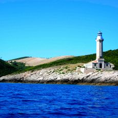
Military forces recognized the strategic location early on and used it as an observation point during conflicts in the Adriatic region. This military role continues today and shapes how the summit is accessed and managed.

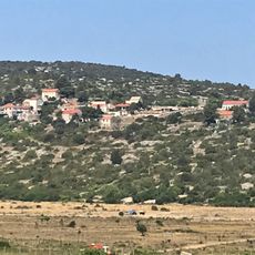
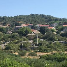
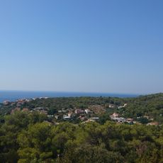
The mountain shapes daily life on the island, with local residents maintaining pathways and regularly walking through the lower areas as part of their routine. Visitors can observe how people use the mountain's slopes as a natural gathering space and exercise destination.

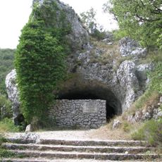
The summit is restricted due to military operations, but marked trails encircle the base and lower slopes for visitors to explore. Sturdy footwear and an early start help make the walk more comfortable, especially during warm months.

The radar installation monitors maritime traffic across the Adriatic and remains essential for navigation in this busy sea region. From the base, visitors can sometimes observe the rotating antenna against the sky.

The community of curious travelers

AroundUs brings together thousands of curated places, local tips, and hidden gems, enriched daily by 60,000 contributors worldwide.

Start exploring
Elevation above the sea
587 m
GPS coordinates
43.02963,16.11376
Latest update
December 14, 2025 14:22
« Mount Hum - Summit peak on Vis Island, Croatia » is provided by Around Us (aroundus.com). Images and texts are derived from Wikimedia project under a Creative Commons license. You are allowed to copy, distribute, and modify copies of this page, under the conditions set by the license, as long as this note is clearly visible.

Discover hidden gems everywhere you go!

From secret cafés to breathtaking viewpoints, skip the crowded tourist spots and find places that match your style. Our app makes it easy with voice search, smart filtering, route optimization, and insider tips from travelers worldwide. Download now for the complete mobile experience.

Around Us App Screenshot

A unique approach to discovering new places

Le Figaro

All the places worth exploring

France Info

A tailor-made excursion in just a few clicks

20 Minutes

Around Us
Travel Guide & Maps
Download

Send to your phone

QR Code
1

Open the camera app on your mobile.

2

Point at the QR code with your camera. A notification will appear.

3

Tap the notification to open the link.