
Magyarföld, village in Hungary
Location: Lenti District
Website: http://www.magyarfold-falu.hu
Shares border with: Felsőszenterzsébet
Website: http://magyarfold-falu.hu
GPS coordinates: 46.77778,16.41718
Latest update: March 9, 2025 15:33
Őrség National Park
6.8 km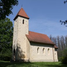
Holy Trinity and Saint Stephen of Hungary church in Velemér
6 km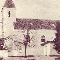
Church of the Ascension of Christ (Bogojina)
15.3 km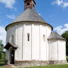
Selo Rotunda
10.9 km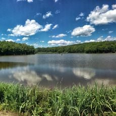
Lake Bukovniško
13.1 km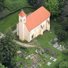
Saint Peter Church, Őriszentpéter
7.9 km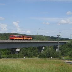
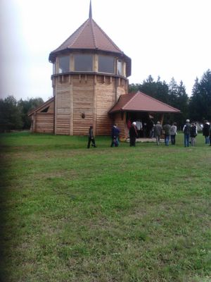
Nagyrákos Viaduct
6.6 km
Reformed church in Szentgyörgyvölgy
5.9 km
Wooden Shingle Museum
6 km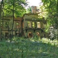
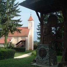
Schloss Matzenau
9.1 km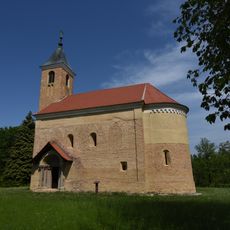
St. Martin's Church (Domanjševci)
10.7 km
Saint Vitus Chapel, Strehovci
13.5 km
St. Benedict Parish Church
14.3 km
Reformed Church, Őriszentpéter
7.2 km
Evangeličanska cerkev, Križevci
14.2 km
St. Jacob church
15 km
Reformed church in Senyeháza, Bajánsenye
3.7 km
Hodoš Lutheran Church
8.9 km
Domanjševci Lutheran Church
9.9 km
St. Nicholas's Parish Church
12.9 km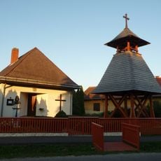
Szentlélek-templom (Bajánsenye)
3.9 km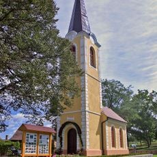
Kapela, Adrijanci
14.7 km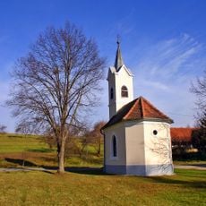
Kapela sv. Križa, Bukovnica
12 km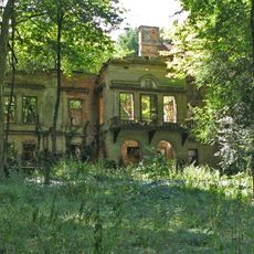
Grad Matzenau
9.1 km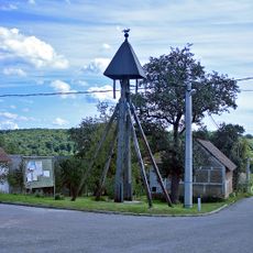
Vaški zvonik
9.5 km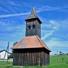
Vaški zvonik
11.9 km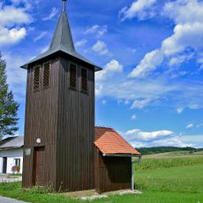
Vaški zvonik
8.6 km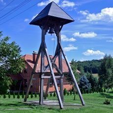
Vaški zvonik
9.1 kmReviews
Visited this place? Tap the stars to rate it and share your experience / photos with the community! Try now! You can cancel it anytime.
Discover hidden gems everywhere you go!
From secret cafés to breathtaking viewpoints, skip the crowded tourist spots and find places that match your style. Our app makes it easy with voice search, smart filtering, route optimization, and insider tips from travelers worldwide. Download now for the complete mobile experience.

A unique approach to discovering new places❞
— Le Figaro
All the places worth exploring❞
— France Info
A tailor-made excursion in just a few clicks❞
— 20 Minutes