
Lake Fehér at Kardoskút, Ramsar site in Hungary
Location: Békés County
Inception: 1966
Elevation above the sea: 85 m
Part of: Körös-Maros National Park
GPS coordinates: 46.46965,20.61888
Latest update: April 4, 2025 11:08
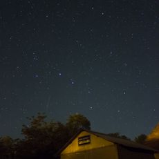
Kiss György Observatory
22.9 km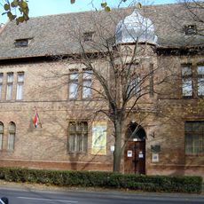
János Tornyai Museum
23.8 km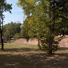
Flood protection wall, Hódmezővásárhely
25.1 km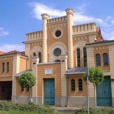
Makó Ortodox Synagogue
25.1 km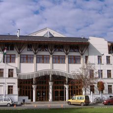
Erdei János Sports Hall
30.2 km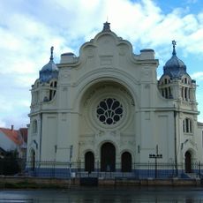
Synagogue in Hódmezővásárhely
22.9 km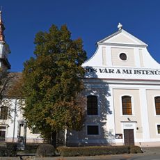
Lutheran Church (Orosháza)
10.7 km
Németh László Városi Könyvtár és Pósa Lajos Gyermekkönyvtár
23.3 km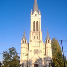
Roman Catholic Church in the newtown of Makó
28.7 km
Petőfi Sándor-szobor
30.2 km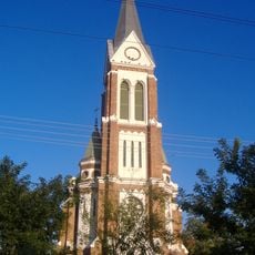
Lutheran church in Makó
29.4 km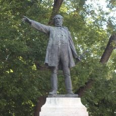
Statue of Lajos Kossuth in Orosháza
10.6 km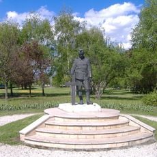
World War II Memorial, Makó
30.2 km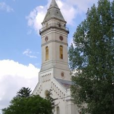
Reformed church
28.8 km
Saint George's Chapel
26.8 km
1956-os emlékmű (Makó)
30.2 km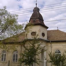
Református imaház (Makó)
29.1 km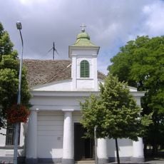
Bishop's chapel (Makó)
30.1 km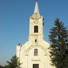
Lutheran Church, Ambrózfalva
15.8 km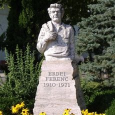
Erdei Ferenc-szobor (Erdei Ferenc tér)
30.2 km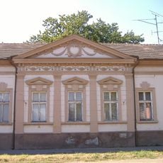
Dózsa–Felletár-ház
30.2 km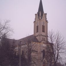
Saint Teresa of Ávila Church
24.2 km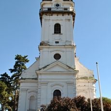
Lutheran Church, Tótkomlós
11.1 km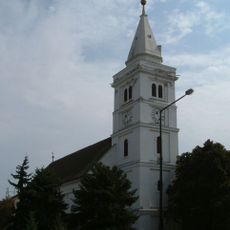
Old Reformed Church (Hódmezővásárhely)
23.9 km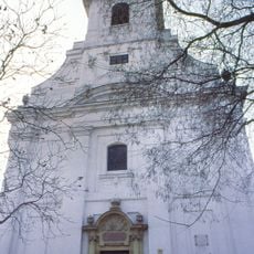
New Reformed Church (Hódmezővásárhely)
23 km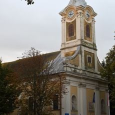
Saint John of Nepomuk Church
26.5 km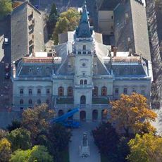
Hódmezővásárhely Town Hall
24.1 km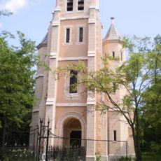
Szent Alajos templom (Nagymágocs)
17.5 kmReviews
Visited this place? Tap the stars to rate it and share your experience / photos with the community! Try now! You can cancel it anytime.
Discover hidden gems everywhere you go!
From secret cafés to breathtaking viewpoints, skip the crowded tourist spots and find places that match your style. Our app makes it easy with voice search, smart filtering, route optimization, and insider tips from travelers worldwide. Download now for the complete mobile experience.

A unique approach to discovering new places❞
— Le Figaro
All the places worth exploring❞
— France Info
A tailor-made excursion in just a few clicks❞
— 20 Minutes