
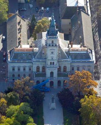
Hódmezővásárhely Town Hall, Rathaus in Ungarn
Location: Hódmezővásárhely
Architects: Lajos Ybl
GPS coordinates: 46.41380,20.31482
Latest update: March 9, 2025 03:36

National Historical Memorial Park of Ópusztaszer
18.7 km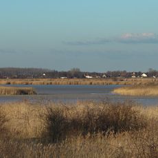
Lake Fehér
19.3 km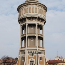
Water tower in Szeged
21.4 km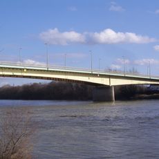
Bertalan Bridge
21 km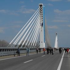
M43 Tisza bridge
14.9 km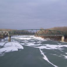
Railway bridge over the Tisza river near Algyő
11 km
Zone de protection paysagère de Pusztaszer
13.6 km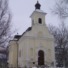
Szent Rozália kápolna
21.5 km
Zone de protection paysagère de Mártély
8.5 km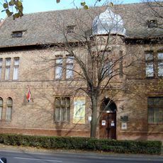
János Tornyai Museum
434 m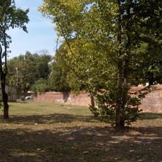
Flood protection wall, Hódmezővásárhely
968 m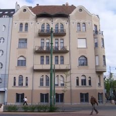
Móricz-ház
21.5 km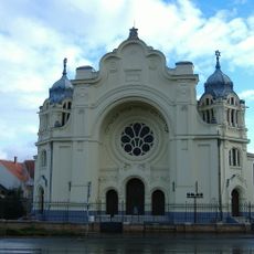
Synagogue in Hódmezővásárhely
1.2 km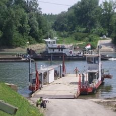
Tápé-Maroslele Ferry
21 km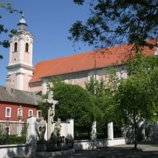
Saint Nicholas parish in Szeged
21 km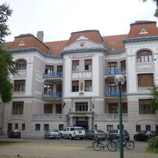
Vajda-palota
21.5 km
Németh László Városi Könyvtár és Pósa Lajos Gyermekkönyvtár
875 m
Kakuszy House
20.3 km
Our Lady of Hungary Church in Maroslele
16.4 km
Algyõ library
11.8 km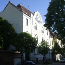
Vastag-ház
21.4 km
Szígyártó-ház
21.5 km
Holy Cross Church
21.4 km
Raffay-ház
21.5 km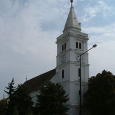
Old Reformed Church (Hódmezővásárhely)
284 m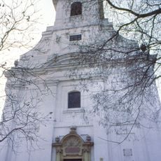
New Reformed Church (Hódmezővásárhely)
1.1 km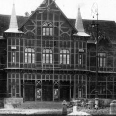
Nyári Színkör
560 m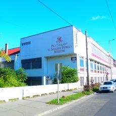
Pick Szalámi és Szegedi Paprika Múzeum
21.2 kmVisited this place? Tap the stars to rate it and share your experience / photos with the community! Try now! You can cancel it anytime.
Discover hidden gems everywhere you go!
From secret cafés to breathtaking viewpoints, skip the crowded tourist spots and find places that match your style. Our app makes it easy with voice search, smart filtering, route optimization, and insider tips from travelers worldwide. Download now for the complete mobile experience.

A unique approach to discovering new places❞
— Le Figaro
All the places worth exploring❞
— France Info
A tailor-made excursion in just a few clicks❞
— 20 Minutes