Slieveboy, Mountain summit in North Wexford, Ireland
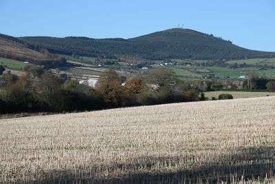
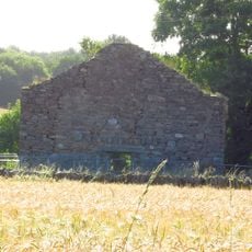
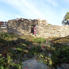
Slieveboy is a mountain summit in North Wexford that rises to 420 meters and features two communication masts at its peak. Dense forest covers the slopes surrounding the summit and extends down to the forest roads that cross the terrain.
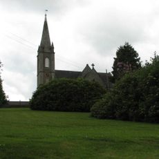
The mountain sits between the settlements of Carnew and Camolin and served as a geographical marker since ancient times. Its elevated position made it a natural reference point for early Irish communities in the area.
The name comes from Irish 'An Sliabh Buí', meaning yellow mountain, showing how places were traditionally named after their natural appearance. This practice of landscape naming reflects how local communities once understood and described their surroundings.
The summit is accessible via multiple forest roads starting from parking near the forest track entrance at coordinates T02728 57076 B. Walking trails through the woodland lead steadily toward the peak without requiring specialized equipment.
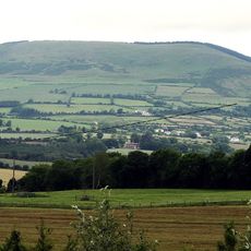
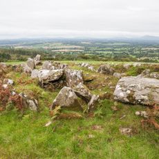
From the peak, visitors can see three distinct landscapes at once: the Blackstairs Mountains, South Wicklow Mountains, and the Irish Sea stretching to the horizon. This unusually wide panoramic view across such varied terrain is hard to find from a single summit elsewhere in the region.
The community of curious travelers
AroundUs brings together thousands of curated places, local tips, and hidden gems, enriched daily by 60,000 contributors worldwide.