Latur district

Log in to your account

AroundUs is a community-driven map of interesting places, built by curious explorers like you. It grows with every review, story, and photo you share.
Connect to save your favorite spots, contribute locations, and create personalized routes.
Continue with Google
Continue with Apple
Continue with X
Continue with Facebook
Continue with email
By continuing, you accept our Terms and Conditions and our Privacy Policy
Create an account
Add to collection
Map
Suggest a change
Share

Latur district, Administrative district in Maharashtra, India

Latur district lies on the Deccan plateau at an elevation of around 631 meters (2,070 feet) and is crossed by the Manjara and Terna rivers that flow through its landscape. The region divides into several administrative zones, blending agricultural areas with scattered settlements and towns.

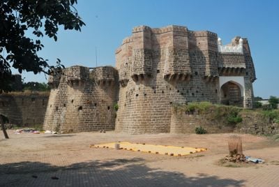
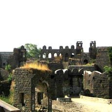
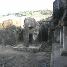
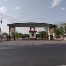
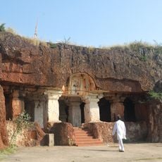
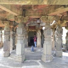
The area, originally known as Lattalur, emerged during the Rashtrakuta period and later came under the rule of the Satavahanas, Chalukyas, and Mughal dynasties. These successive rulers left different cultural and architectural marks that remain visible in the region today.

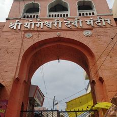
The region hosts the Siddeshwar fair, where local communities gather to perform traditional music and dances that have been passed down through generations. These celebrations reveal how spiritual beliefs and customs continue to shape daily life here.

The district is accessible through its airport, national highways, and railway connections, linking it with major cities across Maharashtra and neighboring regions. Visitors should prepare for varying road conditions and use local transport options to explore different parts of the area.

The region developed a specialized learning method that employs targeted coaching techniques for students preparing for competitive examinations. This approach has made the area a center for intensive academic preparation.

Location: Sambhajinagar division

Capital city: Latur

Shares border with: Beed district, Bidar district

Website: http://latur.nic.in

GPS coordinates: 18.40000,76.58000

Latest update: December 14, 2025 20:28

Photos
Reviews

Visited this place? Tap the stars to rate it and share your experience / photos with the community! Try now! You can cancel it anytime.

« Latur district - Administrative district in Maharashtra, India » is provided by Around Us (aroundus.com). Images and texts are derived from Wikimedia project under a Creative Commons license. You are allowed to copy, distribute, and modify copies of this page, under the conditions set by the license, as long as this note is clearly visible.

Discover hidden gems everywhere you go!

From secret cafés to breathtaking viewpoints, skip the crowded tourist spots and find places that match your style. Our app makes it easy with voice search, smart filtering, route optimization, and insider tips from travelers worldwide. Download now for the complete mobile experience.

Around Us App Screenshot

A unique approach to discovering new places

Le Figaro

All the places worth exploring

France Info

A tailor-made excursion in just a few clicks

20 Minutes