Log in to your account

AroundUs is a community-driven map of interesting places, built by curious explorers like you. It grows with every review, story, and photo you share.
Connect to save your favorite spots, contribute locations, and create personalized routes.
Continue with Google
Continue with Apple
Continue with X
Continue with Facebook
Continue with email
By continuing, you accept our Terms and Conditions and our Privacy Policy
Create an account

Bhagabanpur II community development block

Add to collection
Map
Suggest a change
Share

Bhagabanpur II community development block, Administrative block in Contai subdivision, India

Bhagabanpur II is an administrative block in Purba Medinipur district located within Contai subdivision in West Bengal. The area encompasses multiple villages and gram panchayats with electrical supply reaching inhabited communities.

Residents of this block participated in the 1942 Quit India movement as part of the national independence struggle. Their involvement reflects the region's historical role in India's freedom campaign.

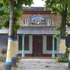
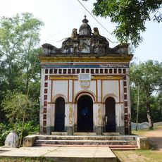
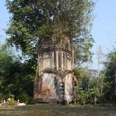
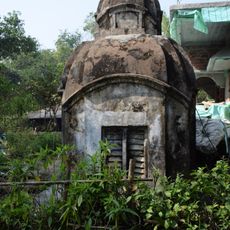
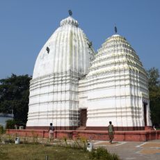
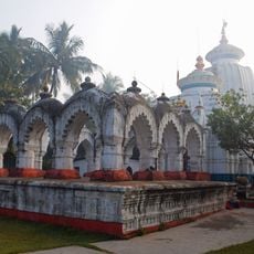
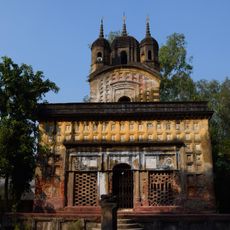
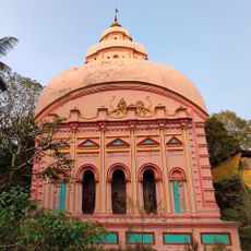
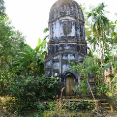
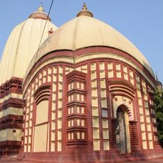
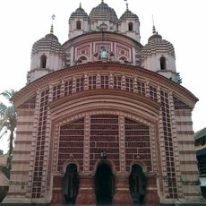
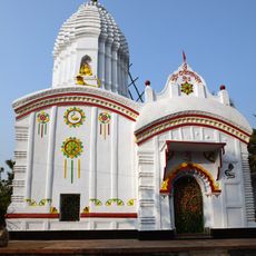
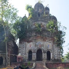
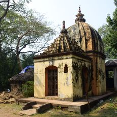
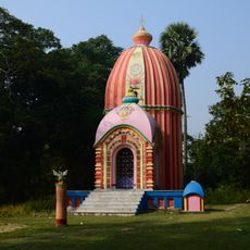
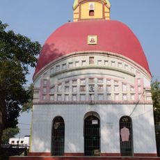
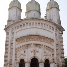
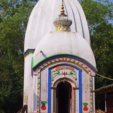
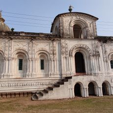
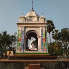
Hindu religious traditions shape daily life through festivals and temple celebrations that occur throughout the year. Bengali is the language spoken in daily interactions across the villages and settlements.

The block is organized through several gram panchayats such as Arjunnagar, Garbari, Jukhia, Baroj, and Mugberia serving as local administrative units. Electricity is available throughout, making it practical to navigate the inhabited villages and access basic services.

This block maintains a notably high literacy rate compared to other community development blocks in the Purba Medinipur district. This achievement reflects strong emphasis on education and school access within the local communities.

Location: Contai subdivision

Elevation above the sea: 5 m

Shares border with: Bhagabanpur I community development block, Chandipur community development block, Nandigram II community development block, Khejuri I community development block, Contai III community development block, Egra II community development block, Patashpur II community development block, Patashpur I community development block

GPS coordinates: 21.95371,87.72343

Latest update: December 12, 2025 12:05

Photos
Reviews

Visited this place? Tap the stars to rate it and share your experience / photos with the community! Try now! You can cancel it anytime.

« Bhagabanpur II community development block - Administrative block in Contai subdivision, India » is provided by Around Us (aroundus.com). Images and texts are derived from Wikimedia project under a Creative Commons license. You are allowed to copy, distribute, and modify copies of this page, under the conditions set by the license, as long as this note is clearly visible.

Discover hidden gems everywhere you go!

From secret cafés to breathtaking viewpoints, skip the crowded tourist spots and find places that match your style. Our app makes it easy with voice search, smart filtering, route optimization, and insider tips from travelers worldwide. Download now for the complete mobile experience.

Around Us App Screenshot

A unique approach to discovering new places

Le Figaro

All the places worth exploring

France Info

A tailor-made excursion in just a few clicks

20 Minutes