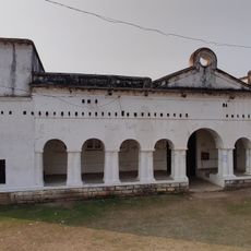
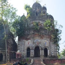
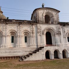
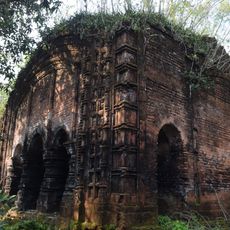
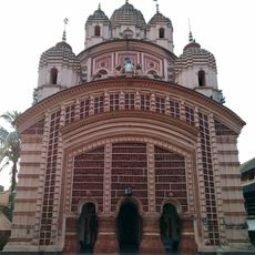
Egra I community development block, Administrative block in Purba Medinipur district, India
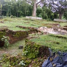
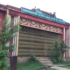
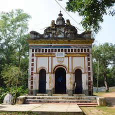
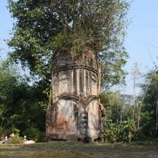
Egra I is a community development block in Purba Medinipur that encompasses rural villages scattered across agricultural countryside. The area is organized as an administrative unit serving multiple small settlements connected by local roads and farmland.
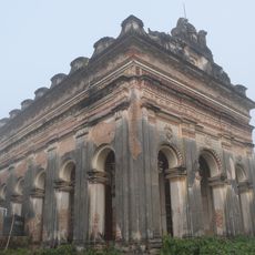
The block was structured as an administrative unit during the colonial period and later maintained as an independent governance division. Over time it became established as a local administrative center organizing public services for the villages under its jurisdiction.
The population of Egra I includes 85 percent Hindu residents and 15 percent Muslim residents, with Bengali serving as the primary language of communication.
Most villages in the area have electrical connections and access to drinking water, making basic facilities available for visitors. Getting around requires using local transportation or a personal vehicle since the settlements are spread across the countryside.
Deep tube wells serve as the main irrigation source across the region due to limited canal systems in the area. These wells support rice farming in two distinct seasonal cycles and form a key feature of the landscape.
Location: Egra subdivision
Elevation above the sea: 19 m
Shares border with: Mohanpur community development block, Dantan II community development block, Patashpur II community development block, Egra II community development block, Ramnagar II community development block, Ramnagar I community development block
GPS coordinates: 21.90000,87.53000
Latest update: December 12, 2025 12:06
Moghalmari
26.2 km
Mogalmari Museum
26.2 km
Ramchandra temple
8.6 km
Rudreshwar temple
25.5 km
Jagannath temple
26.6 km
Hatnagar Shiva Deul
897 m
Ramchandrajiu temple
12.1 km
Siddheshwar Shiva temple
8.7 km
Radhaballava temple
13.3 km
Panchet Rajbari
6.9 km
Ananta Purushottam temple
24.2 km
Gouranga temple
10.9 km
Shitala temple
13.7 km
Radhagobindajiu temple
9.5 km
Kedar Pabkeswhar Shiva Temple
17.4 km
Brindavanjiu temple
13.5 km
Madanmohan temple
10.9 km
Radhabinod temple
10.9 km
Radha Gobinda temple
25.7 km
Pancheshwar Shiva temple
6.9 km
Shyamsundar temple
21.4 km
Raghunath temple
8.6 km
Shitala temple
6.9 km
Radha Gokulananda temple
8.4 km
Rasmancha of Raghunath temple
8.7 km
Rasmancha of Radha Gokulananda temple
8.4 km
Ranagaswer Shiva temple
24.3 km
Rasmancha of Hatnagar Shiva temple
897 mVisited this place? Tap the stars to rate it and share your experience / photos with the community! Try now! You can cancel it anytime.
Discover hidden gems everywhere you go!
From secret cafés to breathtaking viewpoints, skip the crowded tourist spots and find places that match your style. Our app makes it easy with voice search, smart filtering, route optimization, and insider tips from travelers worldwide. Download now for the complete mobile experience.
A unique approach to discovering new places❞
— Le Figaro
All the places worth exploring❞
— France Info
A tailor-made excursion in just a few clicks❞
— 20 Minutes